Mountain range, region / State
/ Czech Republic
Season
Spring
01. 05. 2024
Difficulty
1 / 5
Elevation
↑ 539 m
↓ 540 m
Length
14.8 km
4 hours
Altitude
max. 443 m n.m.
min. 275 m n.m.

Walk to the Written Rocks and Vltava Viewpoints
Starting point
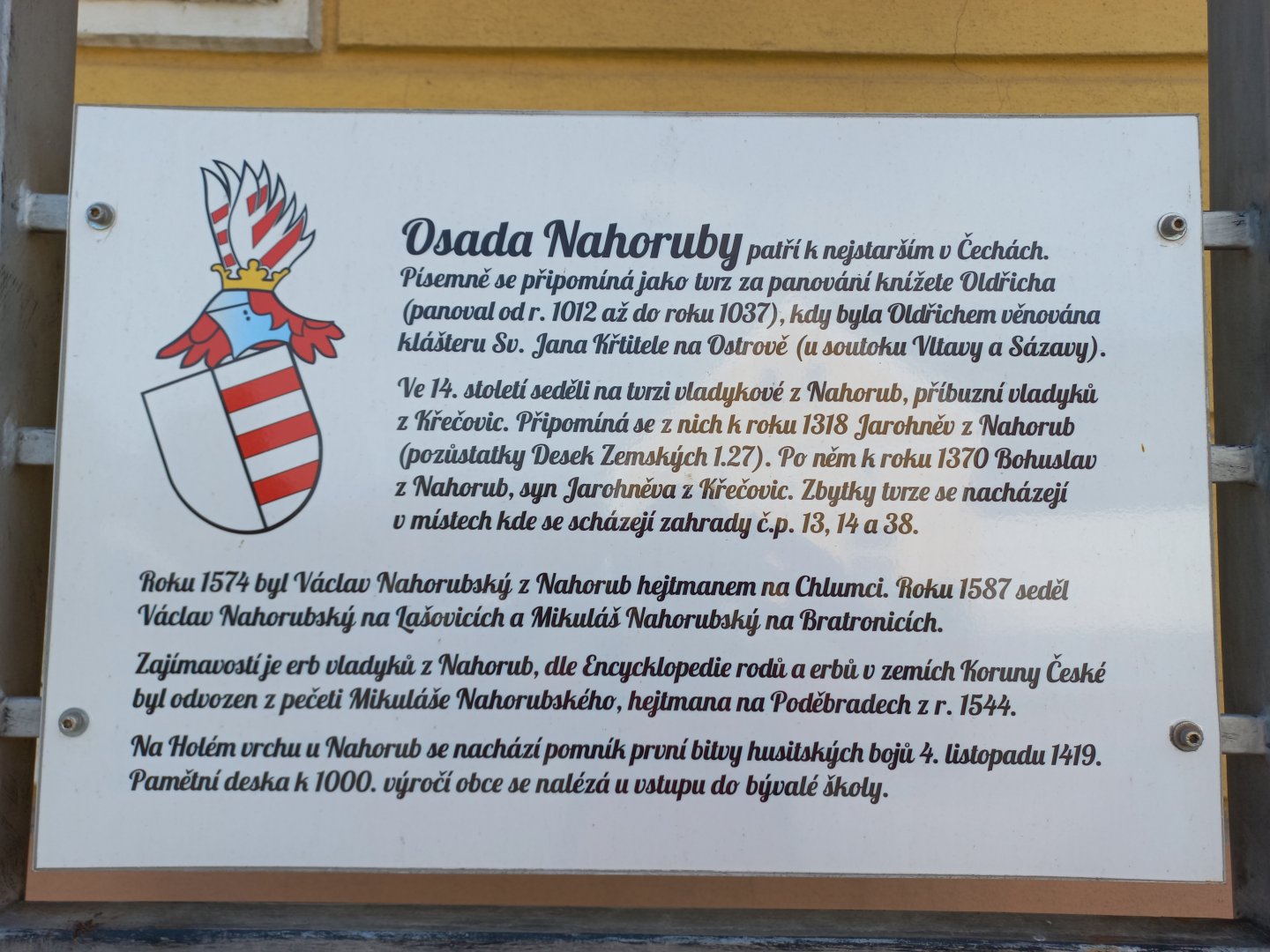
Village Nahoruby, free parking at the village square by the pond.
Description of the hike
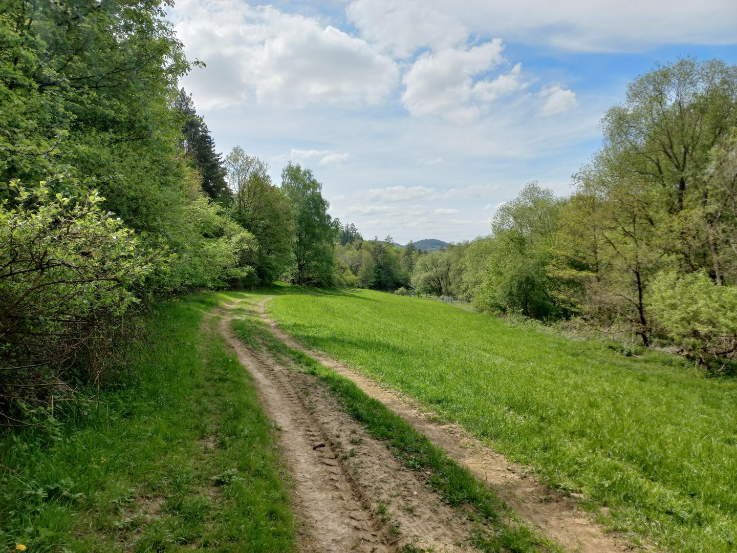
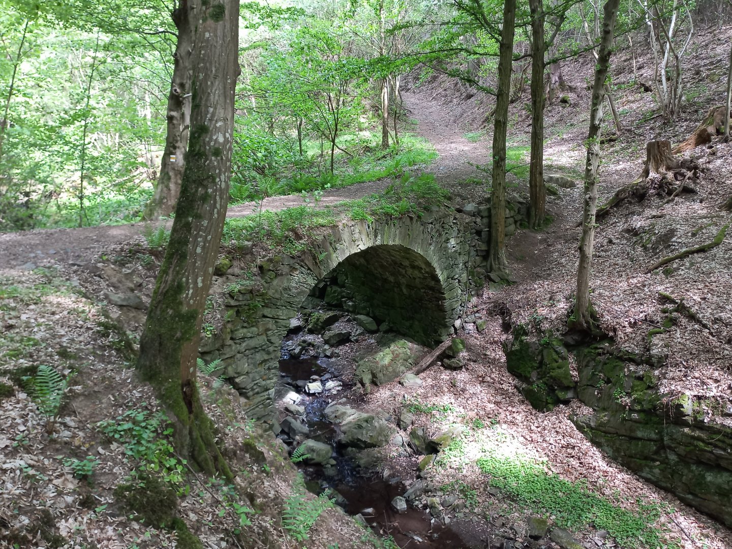
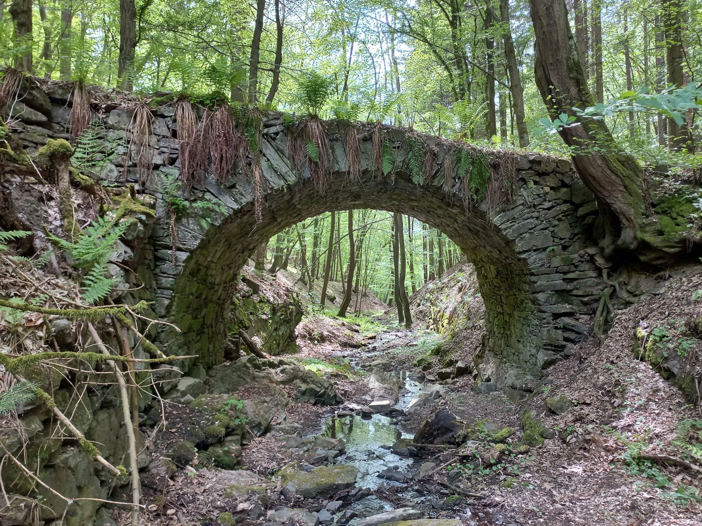
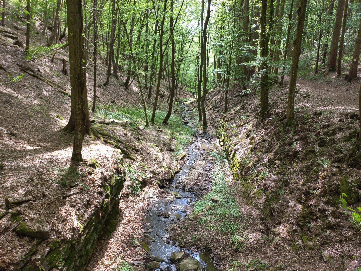
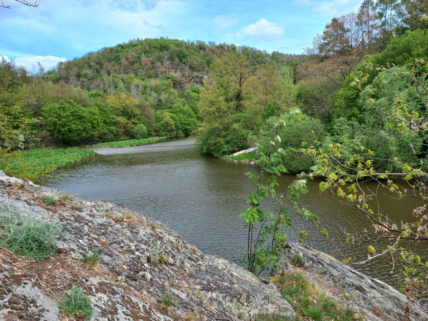
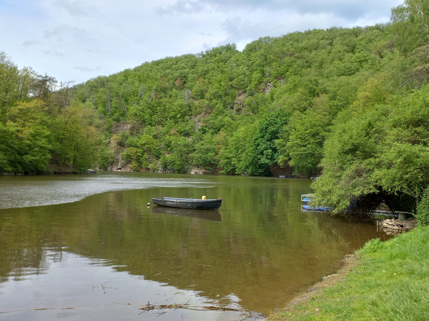
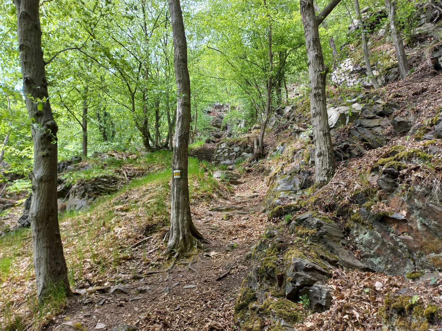
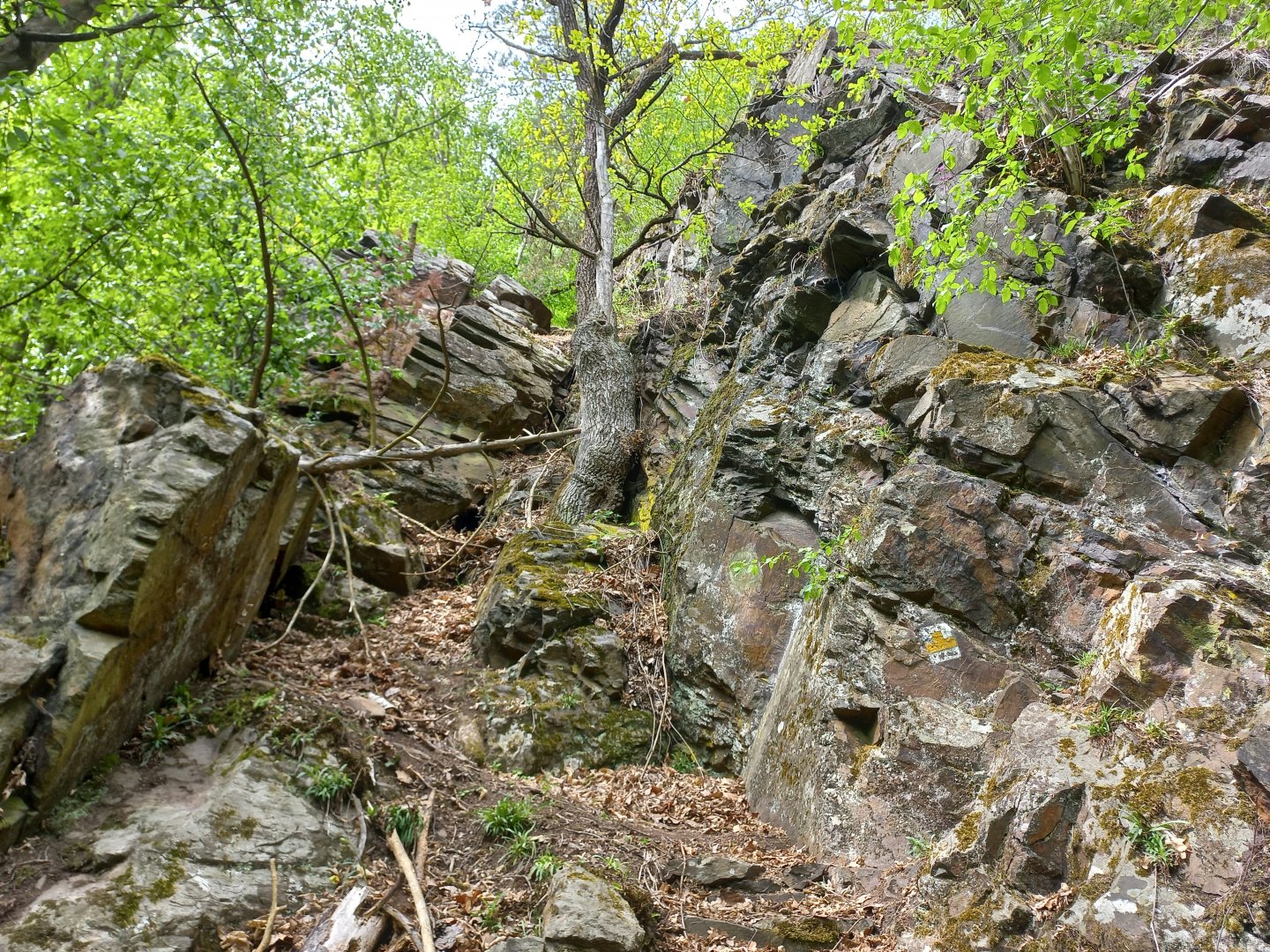
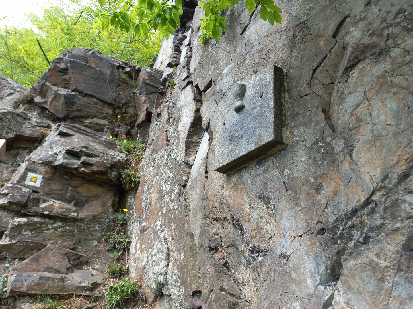
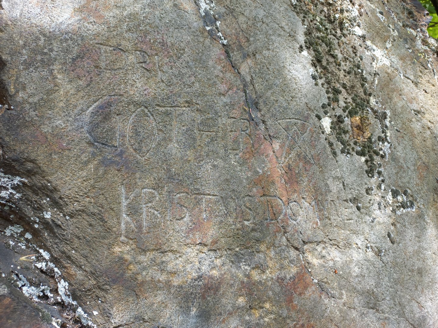
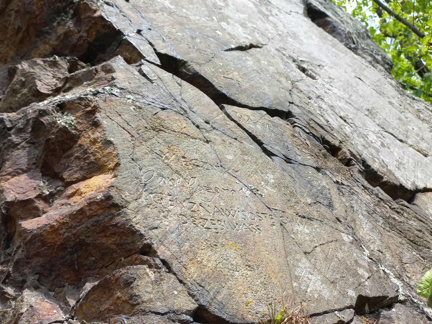
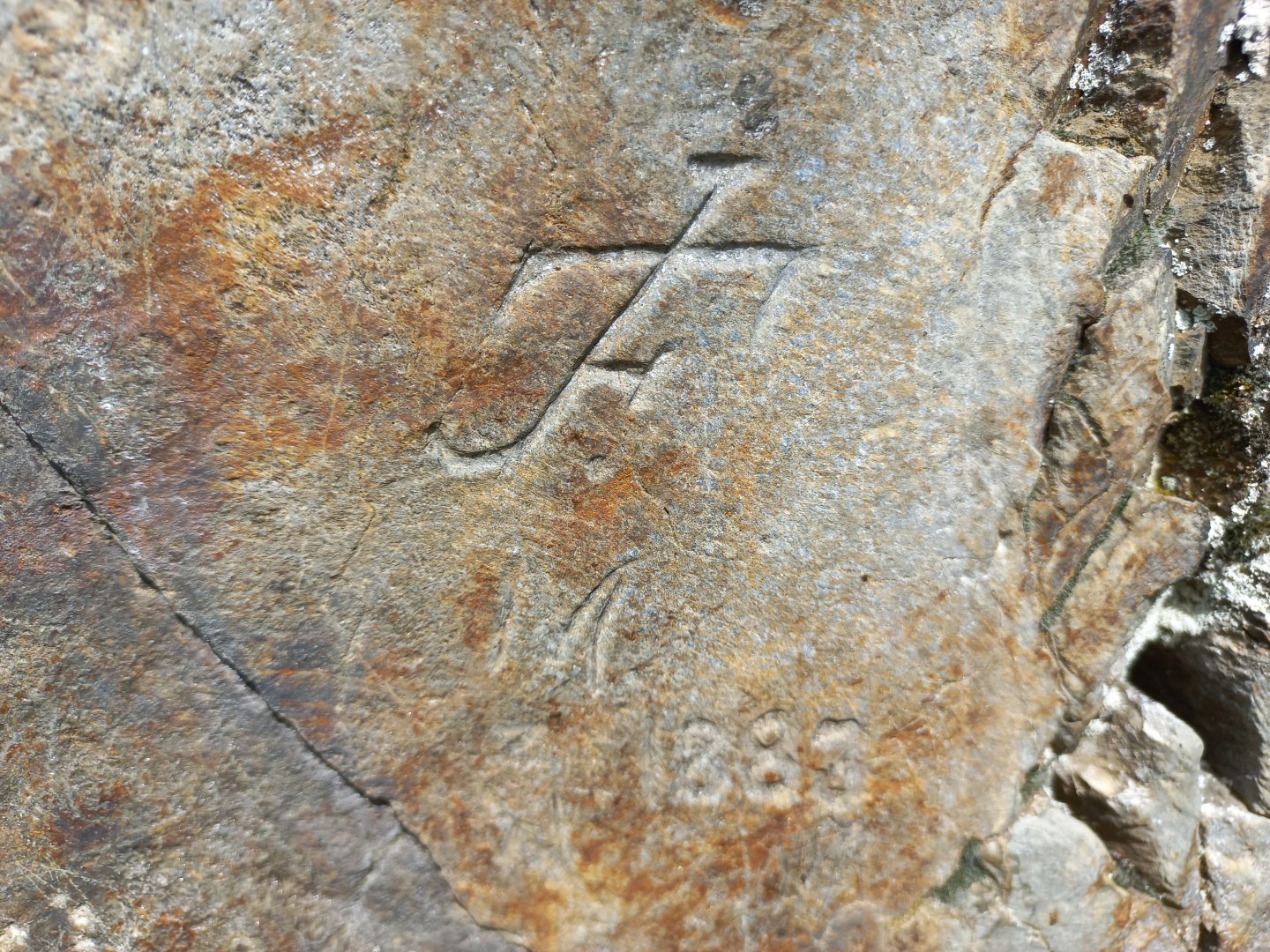
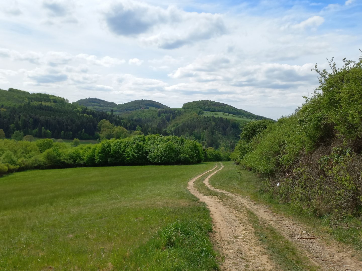
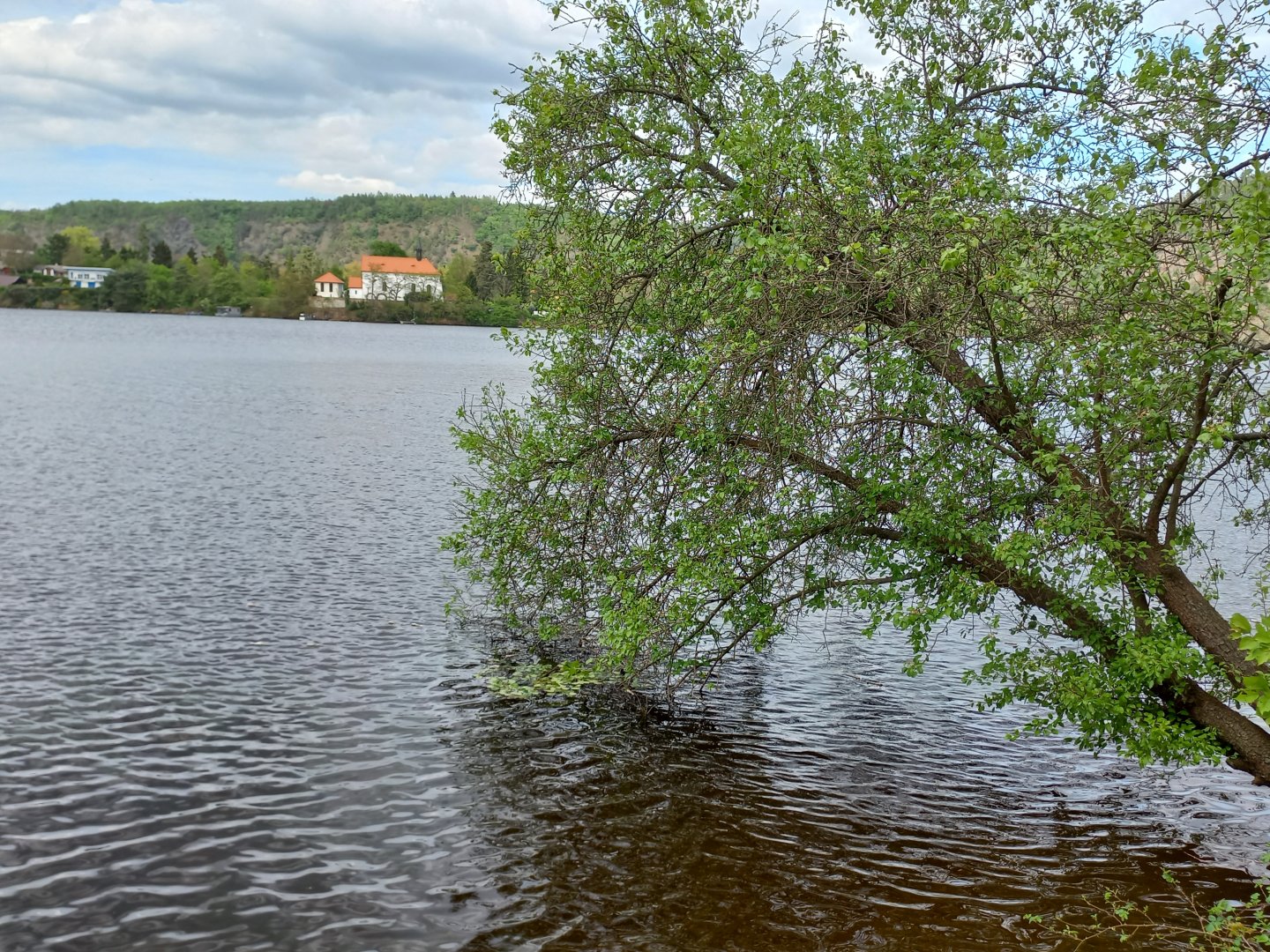
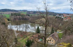
From the village of Nahoruby, I follow the yellow trail towards the Vltava River. The path leads first along the meadows along the brook, then further along the forest path. About a kilometre from the village in the forest you will see an old stone bridge. The brook flows into a blind arm of the Vltava near the cottage settlement. The yellow trail bypasses the village along the water. There are a few boats and springs bobbing on the water. After walking for a while the trail turns up a steep slope to smaller rocks. I climb up stone steps to a flat rock on which inscriptions in Old Czech are engraved. You can read about the origins of the inscriptions on Wikipedia, for example, or on the Kudyznudy.cz website. Unfortunately, some of the engravings are of a more recent date, someone felt the need to immortalize their name and little things here. A commemorative plaque with a calligraphy is fixed on the wall.
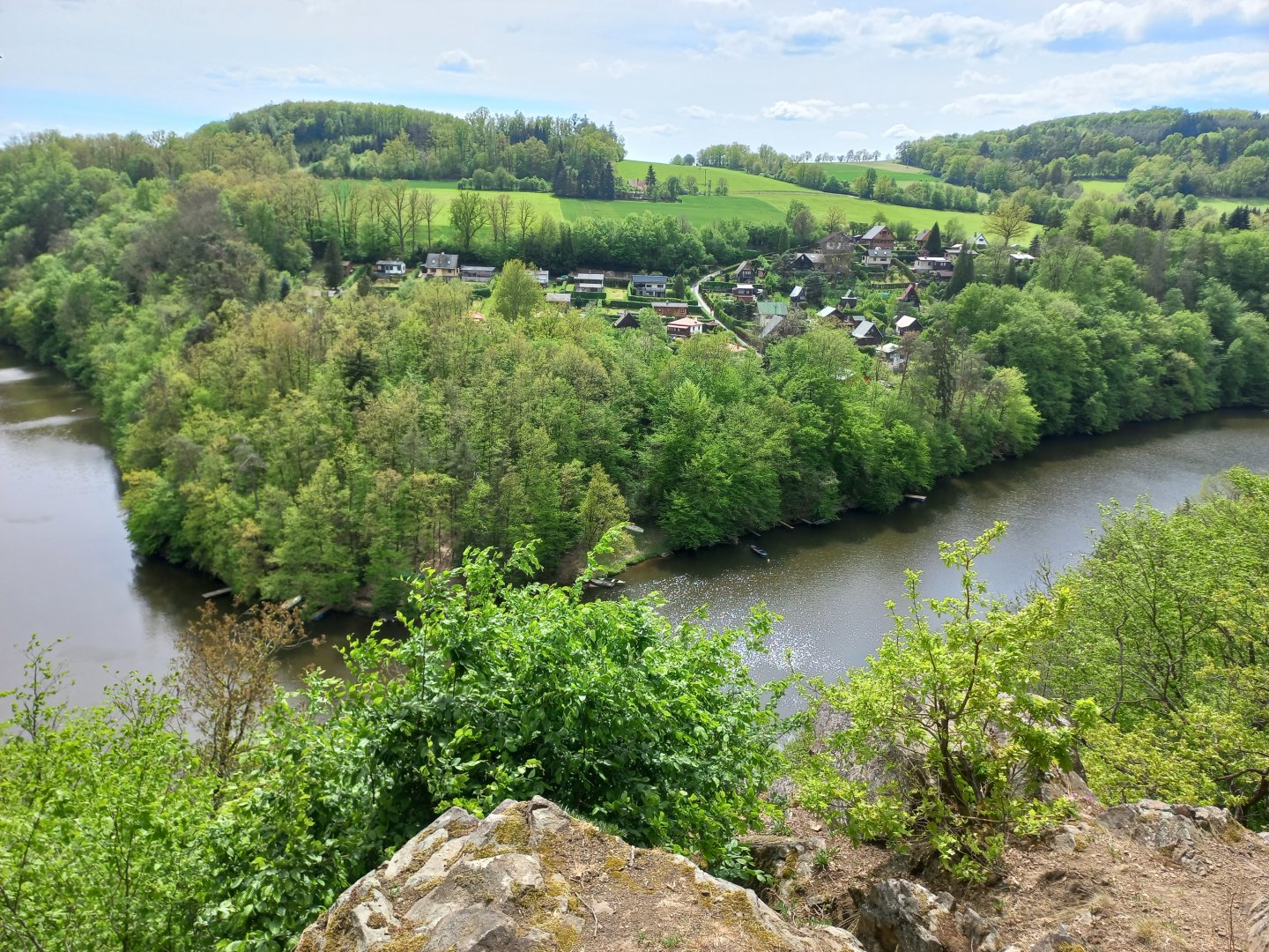
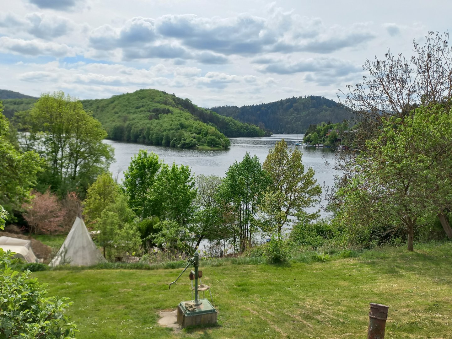
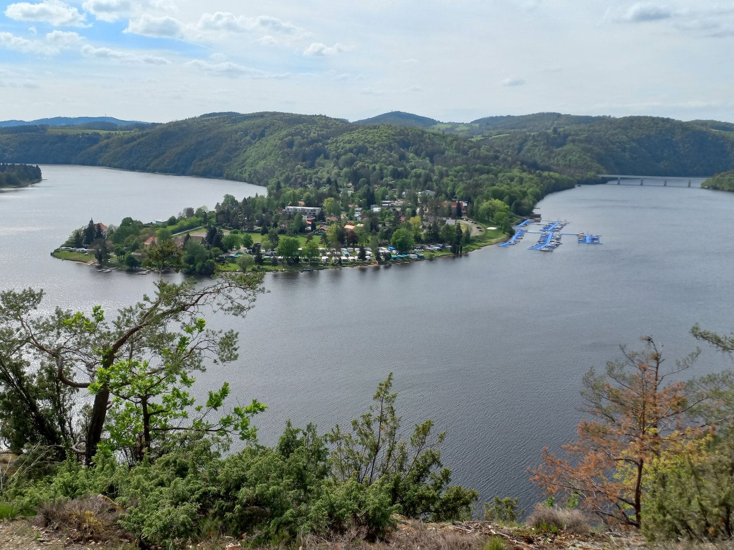
The marked trail ends here, but the narrow path continues up to a viewpoint overlooking the Vltava River and the gardening settlement on the other bank. From the viewpoint I climb a little further to the meadow. Behind it you can see the new building of the Trappist monastery. I follow the dirt paths towards the Vltava again. Through the trees you can see the river and the houseboats moored there. The path leads alternately along the water, between cottages and through the forest to Nová Živohošt'. Here you can have a snack in one of the restaurants. It is possible to return to Nahorub after the green trail, there is also a bus that goes here.
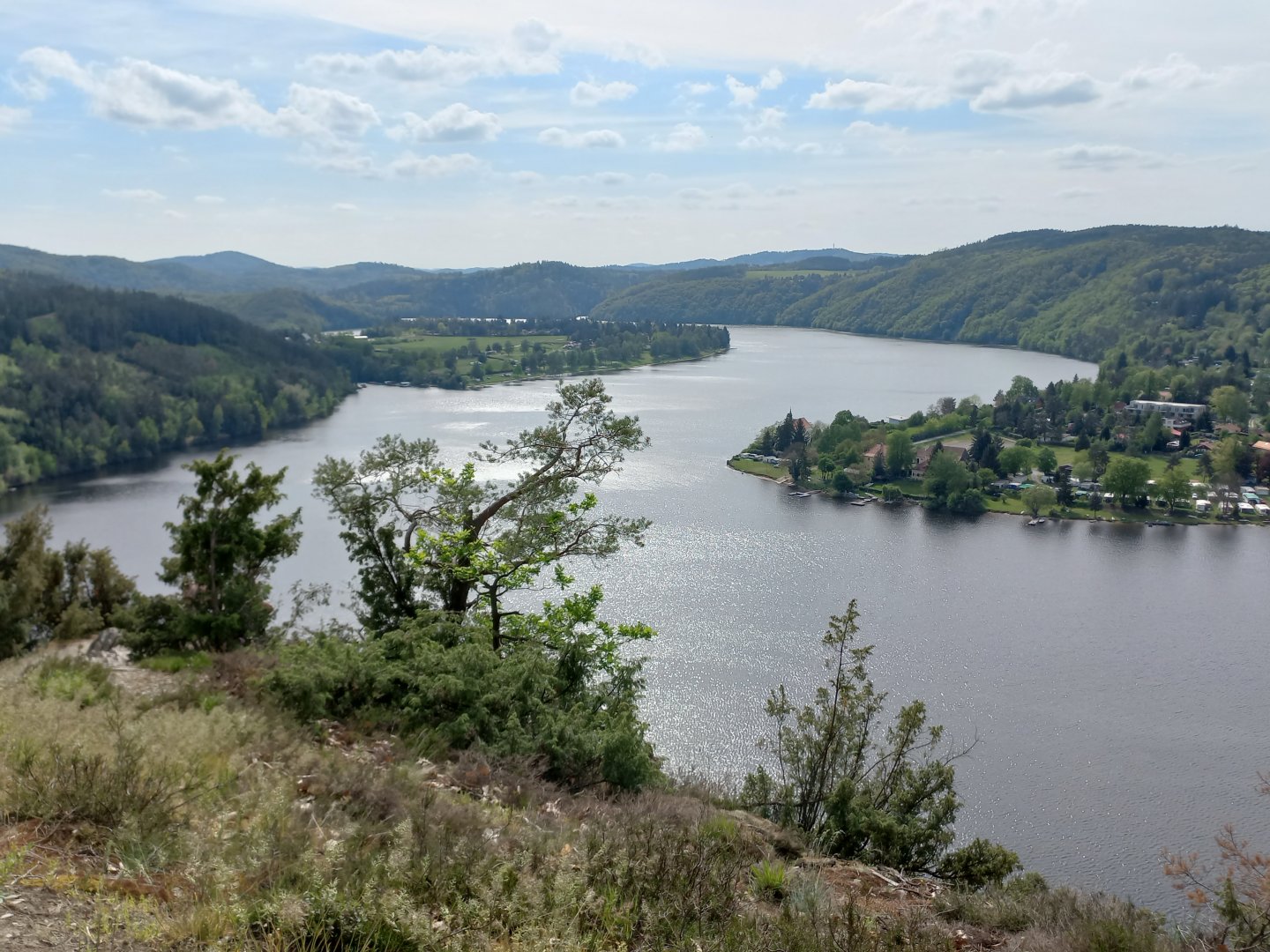
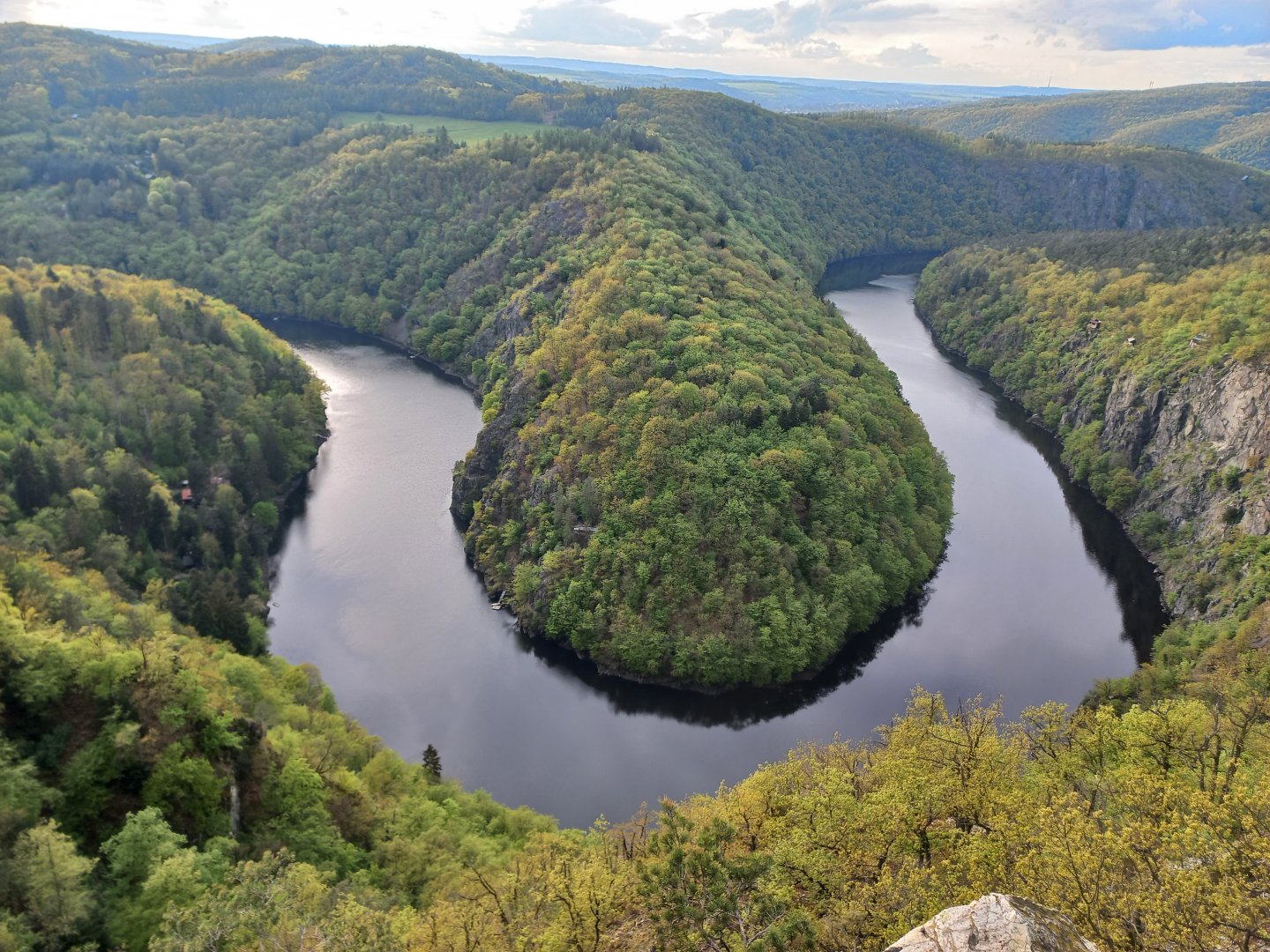
I continue on the green in the opposite direction along the water. Here is the main stream of the Vltava, there are more boats and houseboats moored here. Across the water you can see the white church in old Živohošt'. I'm still heading for the Vrchovnice lookout. A sign pulls me up from the water, then I descend to the stream and up again to the hill Na Vrchovnice. The viewpoint is well over 100 metres above the water, and beyond Živohošt' you can see Besedná hill with the wooden Drtin tower, the marina and the road bridge downstream.
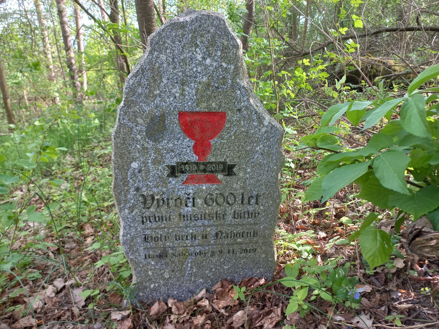
I rest here for a while and then take the same route back to the green crossroads with the red marker. After that I reach the road to Nahoruby. Before the village I turn to the nearby Holý vrch, where there is a monument to the first Hussite battle. If you don't have enough views, you can go to Třebenice, where one of our oldest hiking trails Svatojeanské streams starts, or to the right bank to Teletín to the triple combination of the Máj, Mařenka and Myšák viewpoints. The Vltava meanders here and forms a typical horseshoe.
Difficulty
An easy walk with views in the central Povltava region, mostly along marked trails. Ideal for a family trip or a trip with a dog.
Water availability
Refreshments are available in the middle of the route at Živohošt', there is a pub in Nahoruby with uncertain opening hours.
Mountain peaks
The route does not go over any peaks. The views are offered by the rock lookouts above the Vltava River.
Danger
The path leads along dirt and forest roads, there are no dangerous places. There are stone steps leading to the Written Rocks, they can be slippery in wet weather.
Food
Refreshments are available in the settlement Nová Živnohošt'.
Attractions
Written Rocks - historical inscriptions carved into the rocks, views of the Vltava River