Zwiesel - Hochstaufen mountain pass in the Chiemgau Alps
Mountain range, region / State
Chiemgauské Alpy / Germany
Season
Fall
19. 10. 2024
Difficulty
3 / 5
Elevation
↑ 1424 m
↓ 1424 m
Length
14.1 km
8 hours
Altitude
max. 1776 m n.m.
min. 788 m n.m.
Tips for hikes in the country Germany
Autumn ascent of the Hörndlwand in the Bavarian Alps
Ascent of Mount Jenner from Königssee

Challenging climb to the highest mountain in Germany - Zugspitze
Trek through the Zwiesel - Hochstaufen mountains in the Chiemgau Alps
Starting point
Paid parking at the Adlgaß Inn, approx. 5 km from Inzell.
Description of the hike
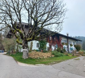
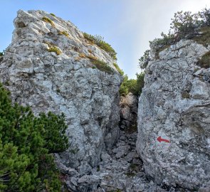
I leave my car in the parking lot of the Adlgaß inn (6 €/day), which I reach by a narrow road from the town of Inzell. From the car park there is a marked DAV route to the ridge. The markings are the same as in Austria - yellow signs, red - medium difficulty, distances given in time - on Zwiesel it should be 3,5 h.
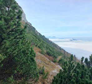
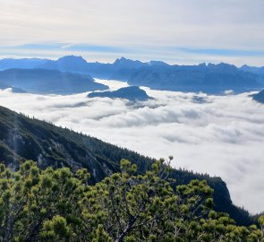
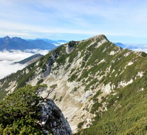
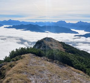
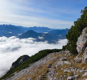
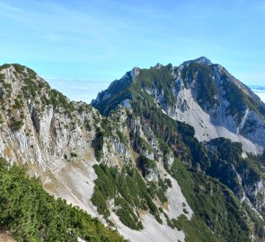
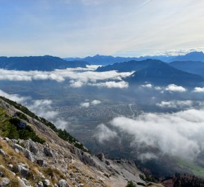
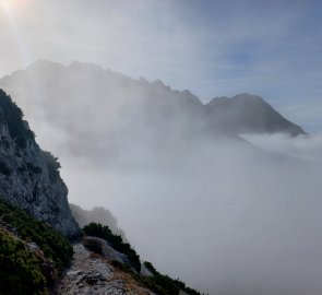
On forest paths I climb through mixed forest. After about an hour I reach the forest border and the ascent is steeper - slash and scree, the path is rocky, sometimes I have to help myself with my hands. Finally the inversion mist clears and I can see the ridge. To the north, where you should be able to see Chiemsee, Germany's third largest lake, but the heavy ghost still lies. On the ridge a fantastic view opens up to the south - somewhere below is the town of Bad Reichenhall and above it the Salzburger and Berchtesgadener Hochthron (Untersberg massif), the prominent two-thousanders Watzmann, Hochkalter and Hochkönig, further south, the snow-capped three-thousanders of the High Tatras and peaks I don't know, but I estimate to be the mountain groups above Zell am See and Kitzbühel, and to the west the Bavarian and Chiemgau Alps with the pyramid of the highest Sonntagshorn and the Tyrolean massif Wilder Kaiser.
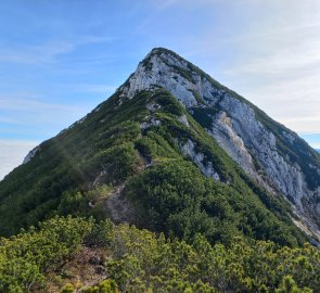
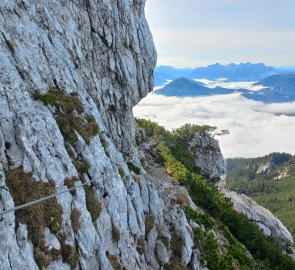
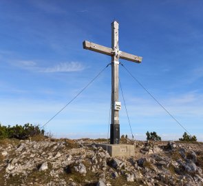
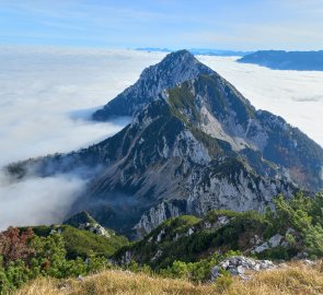
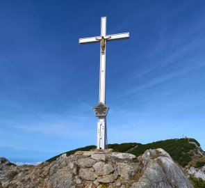
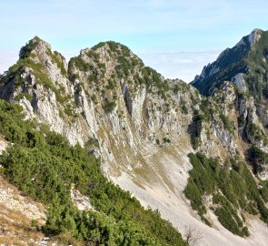
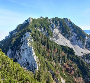
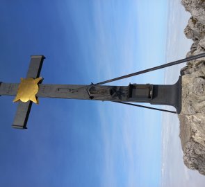
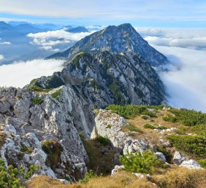
In the saddle there is a turn-off to the nearby Gamsknogel (1750 m) with a shining metal cross. I turn to the east and follow the ridge to the top of Zwiesel (1782 m). The trail either goes directly along the ridge or bypasses the rock formations slightly below it. There are first easy belayed sections and crags where you have to use your hands, but no strenuous climbing. The circular view from Zwiesel is fantastic, the mountains glowing in the midday sun. From the summit you can also see the path to Hochstaufen - a sharp ridge, still up and down, between kneeling and white limestone cliffs.
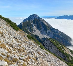
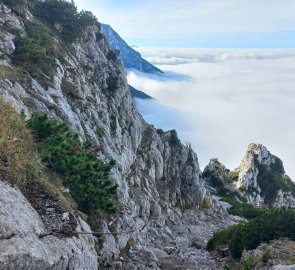
I continue on to the grassy Zenokopf (1756m). Here is possibly the first descent down towards the Zwieselalm, for those who don't feel up to the crossing, or want to split double. The route to Hostaufen is marked as a hiking black - highest difficulty with a warning about the guarded sections, 3 hours. I descend slowly from Zenokopf, the descent is steep and rocky. The path continues on a gravel path, crossing stone fields, still either on the ridge or traversing below it. There are several sections secured with fixed ropes, and there are more and more rocks. Demanding on the physique. From the Roßkarscharte at about 1450 m, an unmarked footpath turns down towards the Frillensee. After the Roßkarscharte, it climbs again about 300 metres towards the rocky Hendelbergskopf (1613 m). Between this and the summit of Mittelstaufen (1657 m), an impressive climb is made between large white boulders.
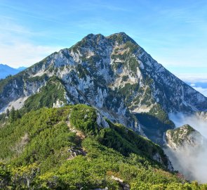
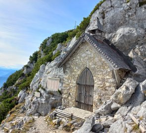
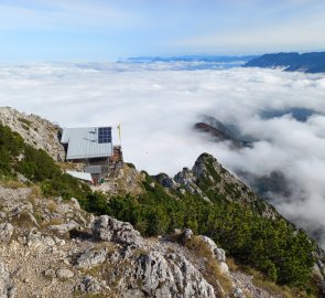
After Mittelstaufen, the path straightens out a bit and the path is wider, leading to the ascent from Bad Reichenhall. While there weren't many people on the ridge, here I encounter more visitors. Due to the thousands of meters of elevation gain on Hochstaufen from all sides, but fortunately no mass hikers. It's only a few hundred metres to the top of Hochstaufen (1771m). Below the summit is a small hut, open even in October. Next to the hut, the beautiful stone chapel Staufenkapelle, dedicated to the fallen of the world wars, is a highlight. The summit is grassy, wide, and more people sit here and admire the magnificent views of the Austrian and Bavarian Alps.
After a long rest in the warm sun, I just don't like to get up and start to sink down into the fog. It should be 2.5 hours back to Adlgaß, according to the signpost, but even with the turn-off to Lake Frillensee I'm going a bit faster. The descent is walked, probably used as a descent from the Pidinger Steig ferrata (hard C/D sections). There are a few rocky sections at the beginning, secured with rope, then forest paths, from Lake Frillensee a nature trail along the stream to the parking lot.
Difficulty
A beautiful trek between two distinctive peaks, a ridge line. The trail follows a marked hiking route with several secured sections. Ferrata equipment is not necessary. It is good to have experience with alpine terrain. Expect 8 - 10 hours. Physically demanding - rock climbing, rocky terrain. Can be split into two climbs.
Water availability
Take water with you, there is a hut at Hochstaufen, the Adlgaß Inn at the end of the road.
Sleeping options
Chiemgau is a tourist area, plenty of accommodation in the valley.
Mountain peaks
Ascent of the Zwiesel and Hochstaufen peaks, views of the Salzburger Kalkalpen, Watzmann, Hochkalter, the High Tatras, the Chiemgau and Bavarian Alps.
Danger
The route follows a marked hiking trail of medium and difficult difficulty. Long and physically demanding (8 - 10 hours on the way). A few secured sections (not a classic ferrata), but there are escape routes. Experience with alpine terrain is required.
Food
Food to go, refreshments available at the hut on Hochstaufen or at the Adlgaß Inn at the end of the trail.
Attractions
Now that it's the time of All Souls' Day, I'll add a few more dark stories about Hochstaufen (source Wikipedia.de). The climb from the east is named Steinerne Jäger (Fossil Hunters). Legend has it that once upon a time two hunters went up here on a Sunday to hunt chamois. They started chasing the animal, which ran towards the summit. When they heard bells from the valley calling for mass, they just laughed it off and continued hunting. When they finally had a large chamois in their sights and were about to shoot, the animal turned into the devil and he left the two hunters petrified in retaliation for their wickedness. Misfortune also accompanied the construction of the Staufenkapelle in 1928. When the rough construction was underway, an earthquake struck Hostaufen and the chapel was badly damaged. It was completed a year later, in 1929, and commemorates the local members of the Deutscher Alpenverein who died in the war. And the third disaster that occurred at Hochtaufen is of more recent date. In 1993, a robbery murder took place here, on a peak with a beautiful view. Two teenagers murdered the operator of a hut on Hochstaufen for about 1500 marks in revenue. Their names are also commemorated at the Staufenkapelle.
