A cool trek to Monte Cernera in the Italian Dolomites
Mountain range, region / State
Dolomites in Alps / Italy
Season
Summer
27. 08. 2009
Difficulty
2 / 5
Elevation
↑ 581 m
↓ 581 m
Length
5.4 km
5 hours
Altitude
max. 2664 m n.m.
min. 2211 m n.m.
Tips for hikes in the mountain range Dolomites in Alps

6-day crossing of the Dolomites along the Alta Via 1 route

Circular trek at the waterfalls in the Fanes Sennes Braies park in the Dolomites

Trek with the best ferrata in the Sexten Dolomites
One-day mountain hike in the central part of the Dolomites
Starting point
Parking in the mountain saddle Passo di Giau, which we reached from Cortina d'Ampezzo.
Description of the hike
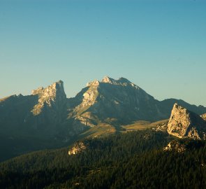
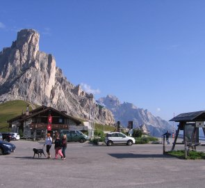
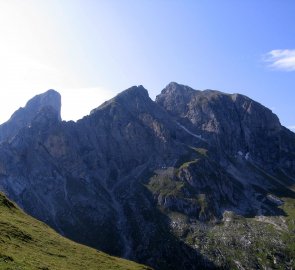
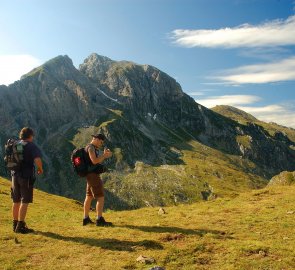
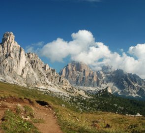
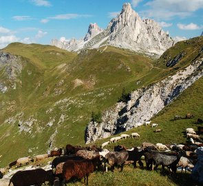
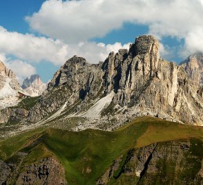
We started our ascent to Monte Cernera 2 664 m above sea level at the road saddle Passo di Giau (photo) , which is situated at an altitude of 2 238 m above sea level. Thanks to this, the climb was very relaxing, as the total elevation gain was only 581 metres. From the parking lot in the saddle we followed the marked path 436. The sign leads through meadows on a beaten path. Po ní jsme se dostali až na rozcestí pod horou Col Piombin. (photo) Here we turned off and actually started to climb Monte Cernera along the trail. This way we avoided its steepest walls. The trail runs in a grassy slope. A herd of very friendly goats made our journey pleasant. Gradually we climbed the trail gently until we reached a rock break.
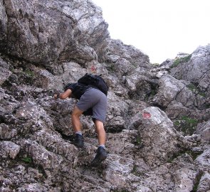
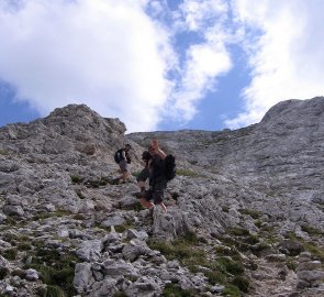
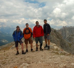
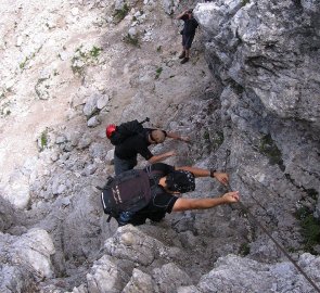
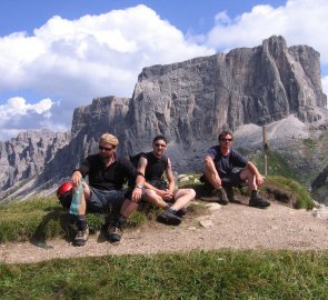
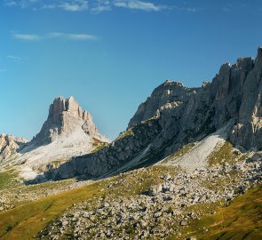
Here was the only secured place along the path about 20 meters long. (photo) Next we climbed, this time in rocky terrain. Here the ascent was steeper. In serpentines we climbed up to the top of Monte Cernera 2 664 m above sea level. The views from the top are great, especially the Passo di Giau and the Tofan group rising behind it (photo). We had a great time at the top. We descended and returned to the car in the parking lot by the same route as the ascent.
Difficulty
A relaxing hike in the heart of the Dolomites. Due to the altitude it is not physically demanding. In one part there is a securing with a steel rope, but it is rather just for variety. You will certainly not encounter any difficult or dangerous sections along the way.
Water availability
Considering the length of the trek, we had all our supplies with us (1.5 liters of water per person was enough). There is no spring or stream along the way.
Mountain peaks
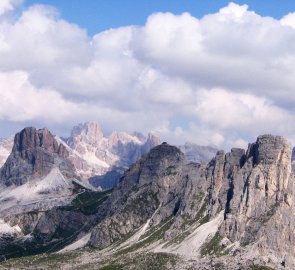
From the top of Monte Cernera at 2,664 metres above sea level, you can enjoy views of Monte Pelmo, the Tofan group, the Nuvolau and Avera mountains and many other mountain ranges of the Dolomites.
Danger
The route runs largely along trails. The only sheltered section is the ascent to the rocky terrain on the slopes of Monte Cernera. However, this section is also very easy to manage, with steel ropes just for convenience. The final passage of the climb is steeper, but it is on a wide ridge, so there is no danger here either.
Equipment
For the ascent of Monte Cernera, standard mountain clothing is sufficient. Sturdy boots and good quality clothing. Ferrata kit is not needed, the only more difficult place is secured with a rope and is not dangerous.
Food
There is no hut on the route, so it is necessary to have all food supplies with you. We made do with cold food.
