Mountain range, region / State
Ybbstal Alps / Austria
Season
Spring
05. 05. 2024
Difficulty
3 / 5
Elevation
↑ 1190 m
↓ 1190 m
Length
13.6 km
6 hours
Altitude
max. 1639 m n.m.
min. 836 m n.m.
Tips for hikes in the mountain range Ybbstal Alps
Climbing the Gippel peak in the Ybbstal Alps

Easy hike to the top of Hochkar

Sightseeing route around Annaberg in the Ybbstalian Alps
Trek to the Großer Zeller Hut in the Ybbstal Alps
Starting point
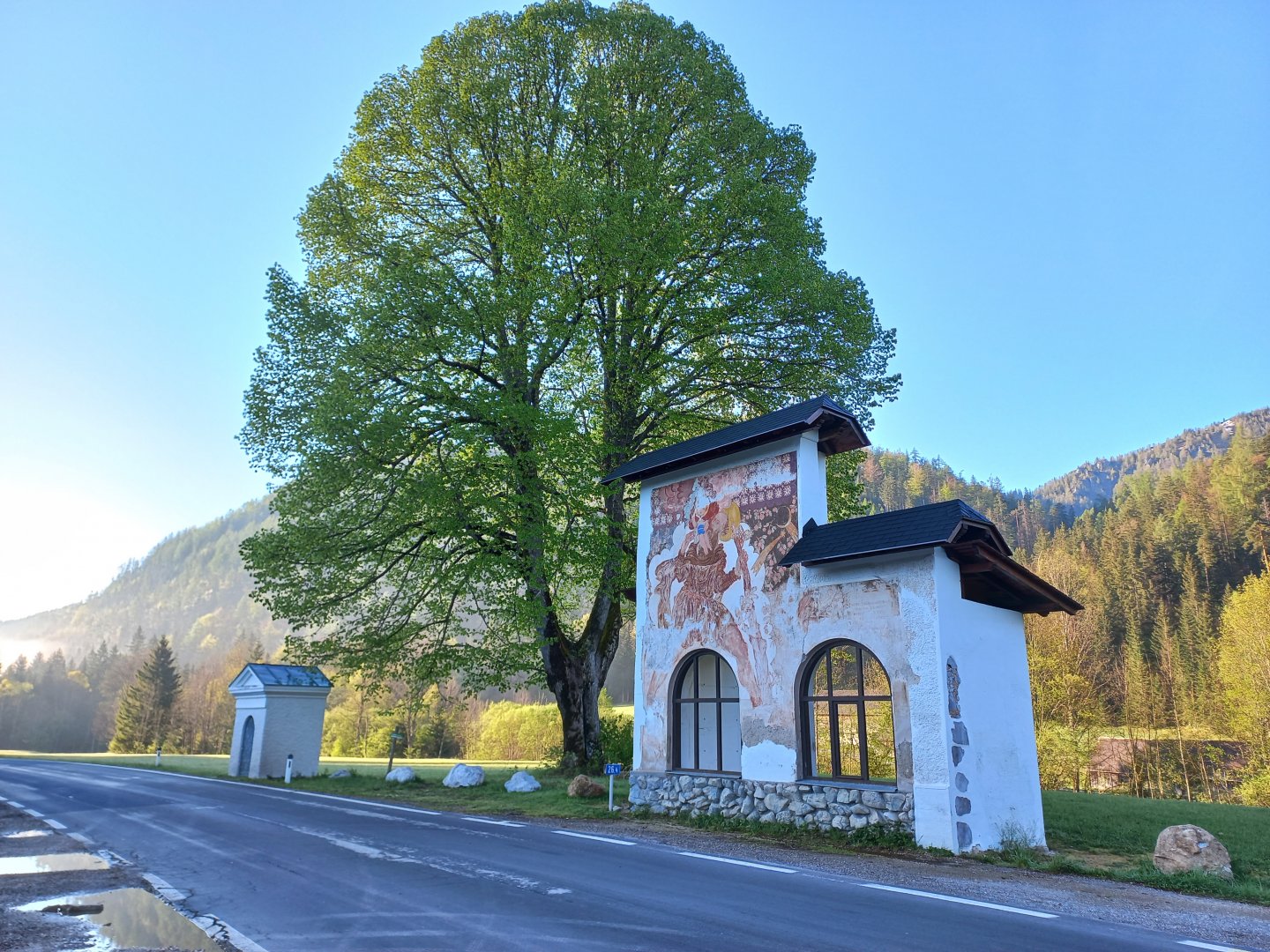
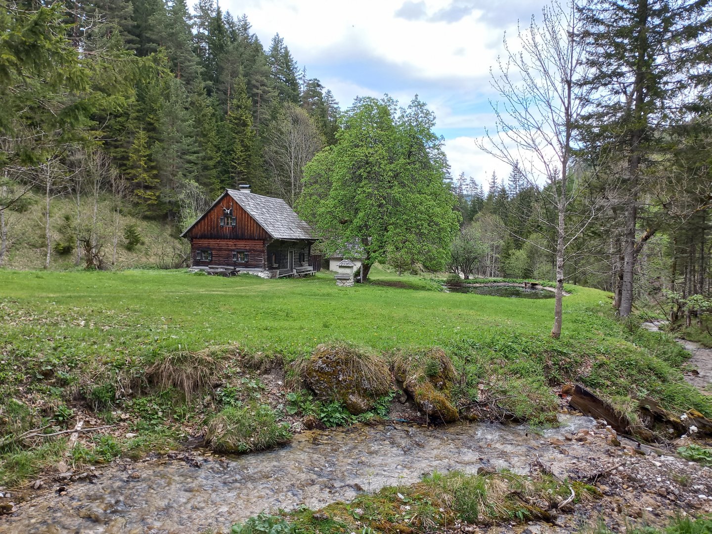
Settlement Grünau, free parking on the road to Mariazell.
Description of the hike
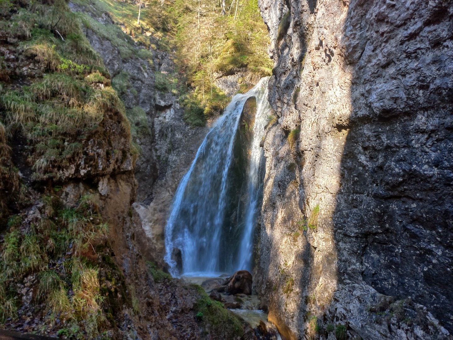
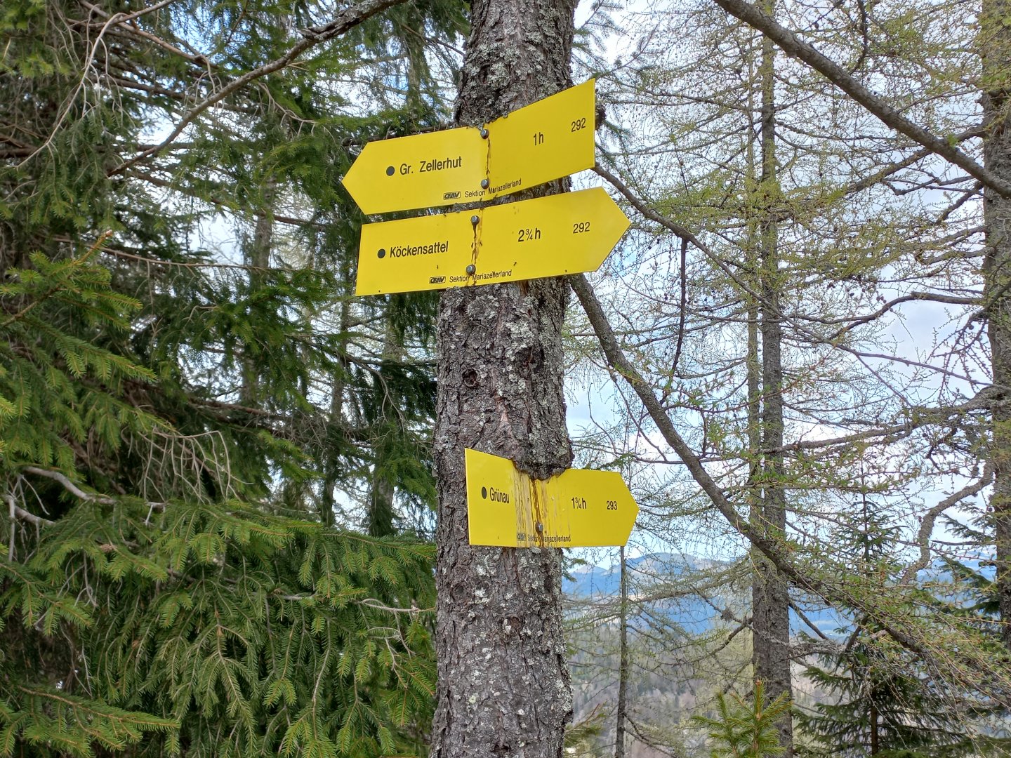
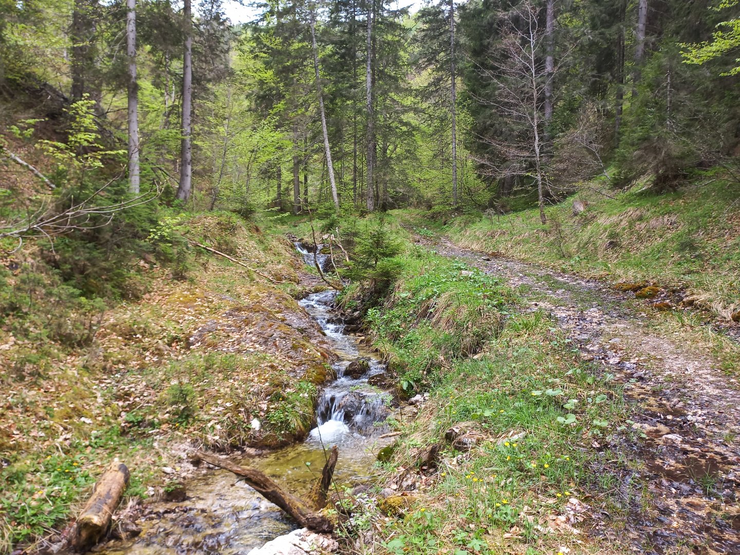
I park my car in the unpaid parking lot on the road to Mariazell near Grünau. On the other side of the road stands the remains of the wall of a former inn that was demolished a few years ago. I head along the stream to the signpost near the Marienwasserfall. As in many places around Mariazell, there is a small niche dedicated to the Virgin Mary, full of crosses, cherubs and small religious objects. Before the waterfall, a marked trail turns off to the Köckensattel saddle. A forest path climbs upwards, the trail occasionally runs parallel to a wider forest path, crossing a stream.
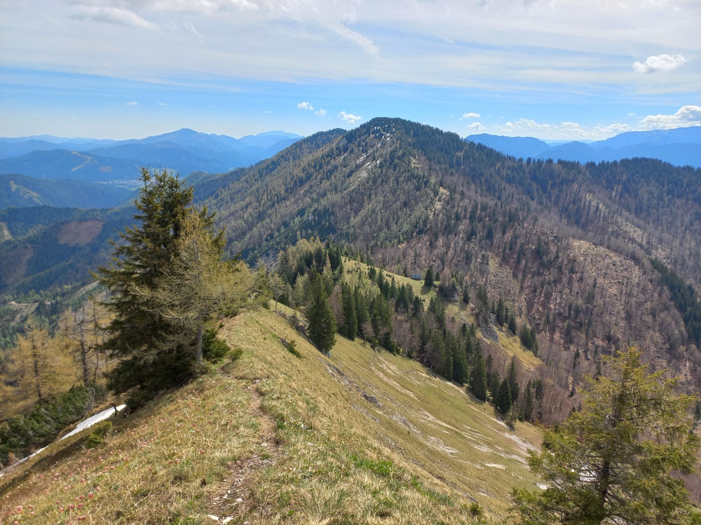
After about an hour and a half, I come out of the forest into a grassy pasture where there is another signpost. You can already see the other side, the eastern tip of the Hochschwab. The trail to Zellerhütte leads to the right, skirting the Feldhüttl hill and continuing on a switchback trail to the first summit of the trail, Oischingkogel (1606 m). There is a curious jumble of markings - a miniature summit cross with the inscription Falscher Kogel (Fake), as the locals call the hill, a pole with the inscription Oischingkogel and a wooden sign with the words Vorderer Zeller Hut crossed out.
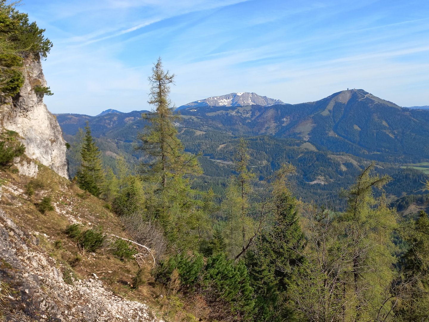
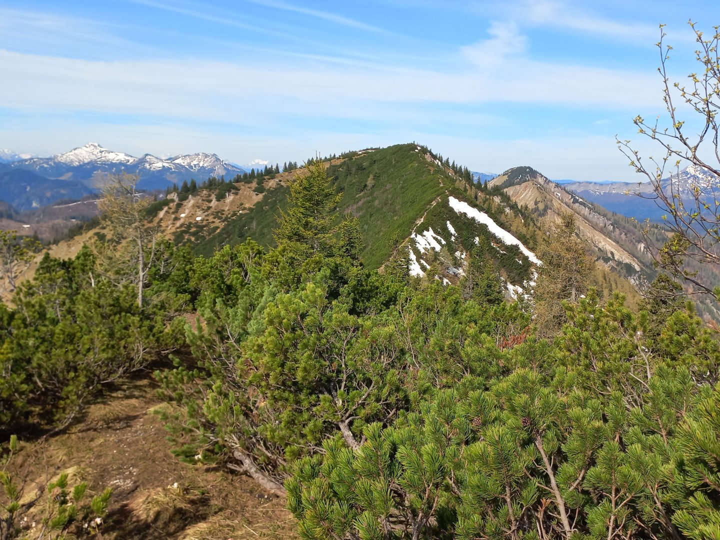
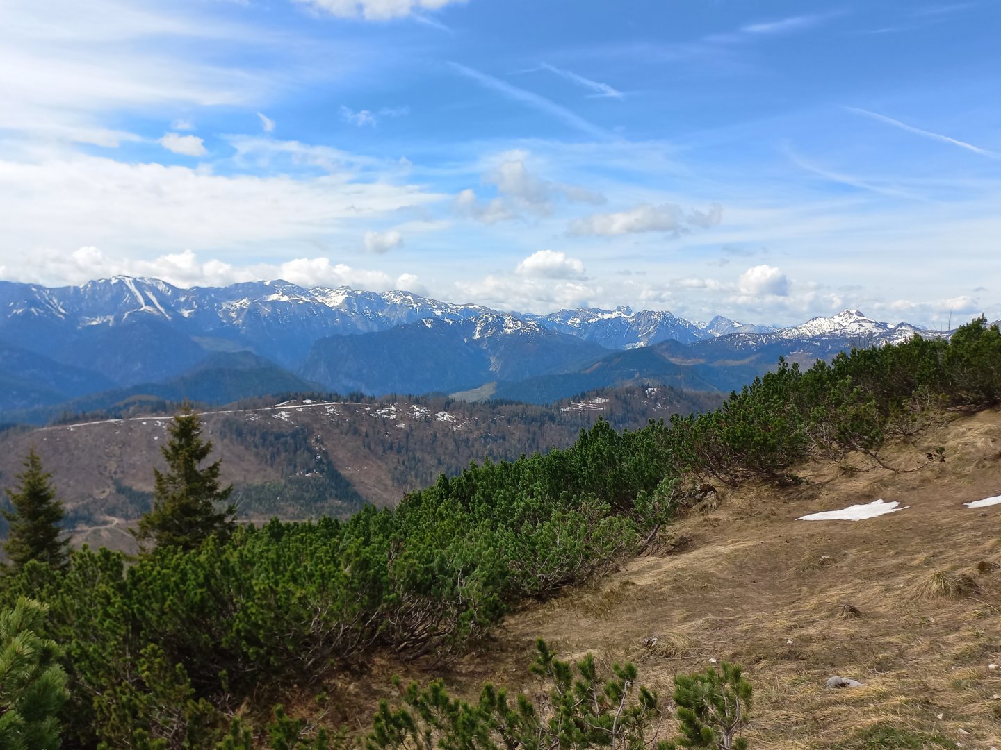
From the Oischingkogel you can see a nice view of the Mariazell and the mountains behind it - Raxy, Schneeberg, Göller, Tonion, Veitsch. To the north are the landmarks of Mariazellerland - the Gemeindealpe with its transmitter, cable car and ski slopes, and behind it the still snow-covered Ötscher. In the south, the entire Hochschwab ridge and the Gesäuse behind it can be seen. To the west I can see the other peaks on the way Vorderer, Mittlere and Grosser Zeller Hut (Front, Middle and Great Zeller Hut), and behind them in the distance Dürrenstein.
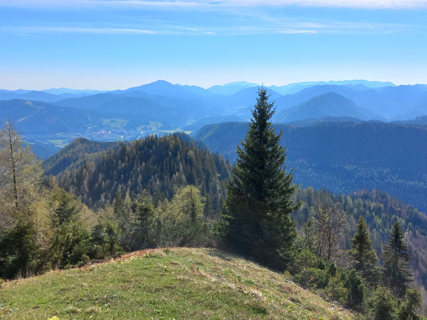
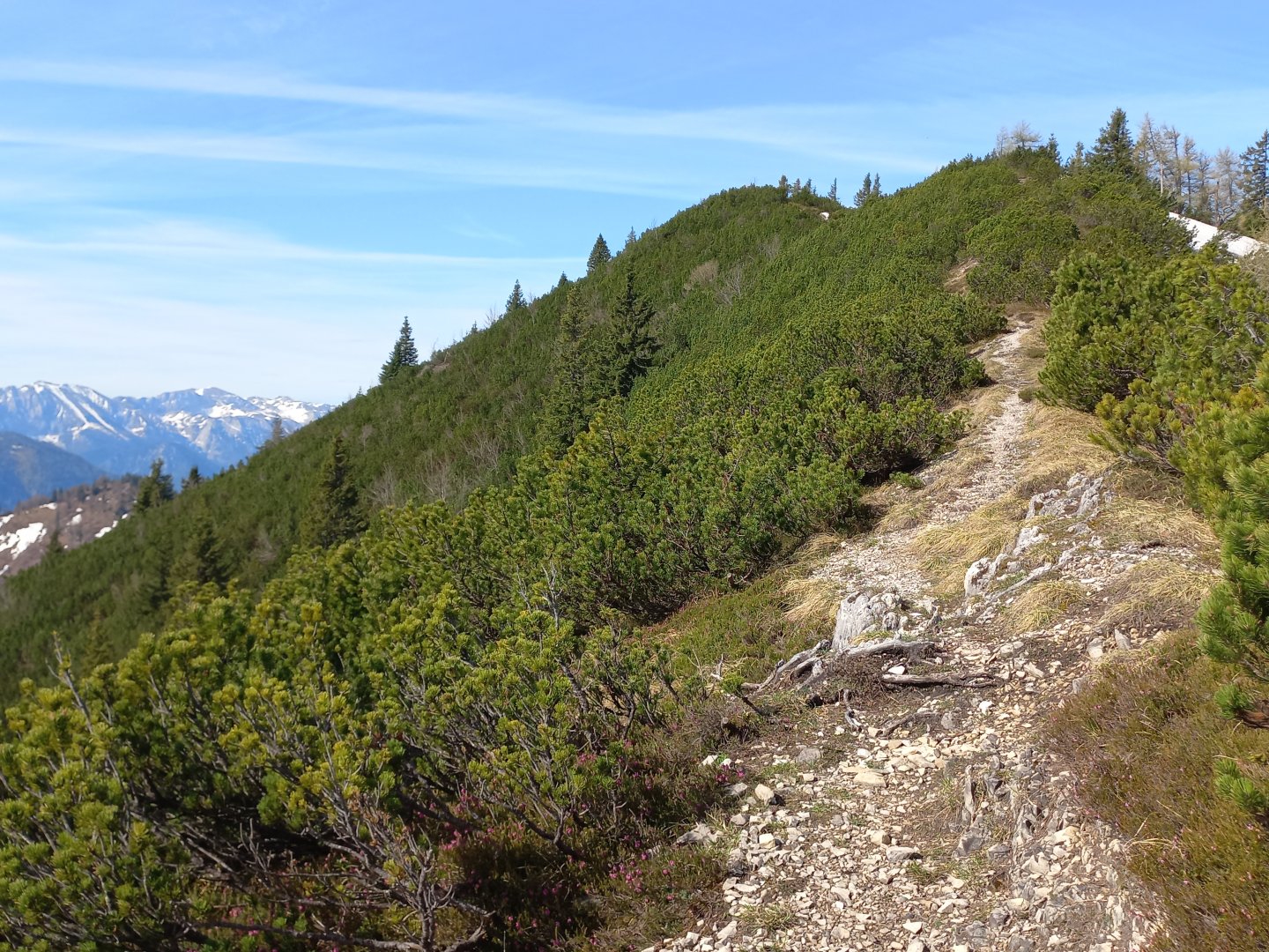
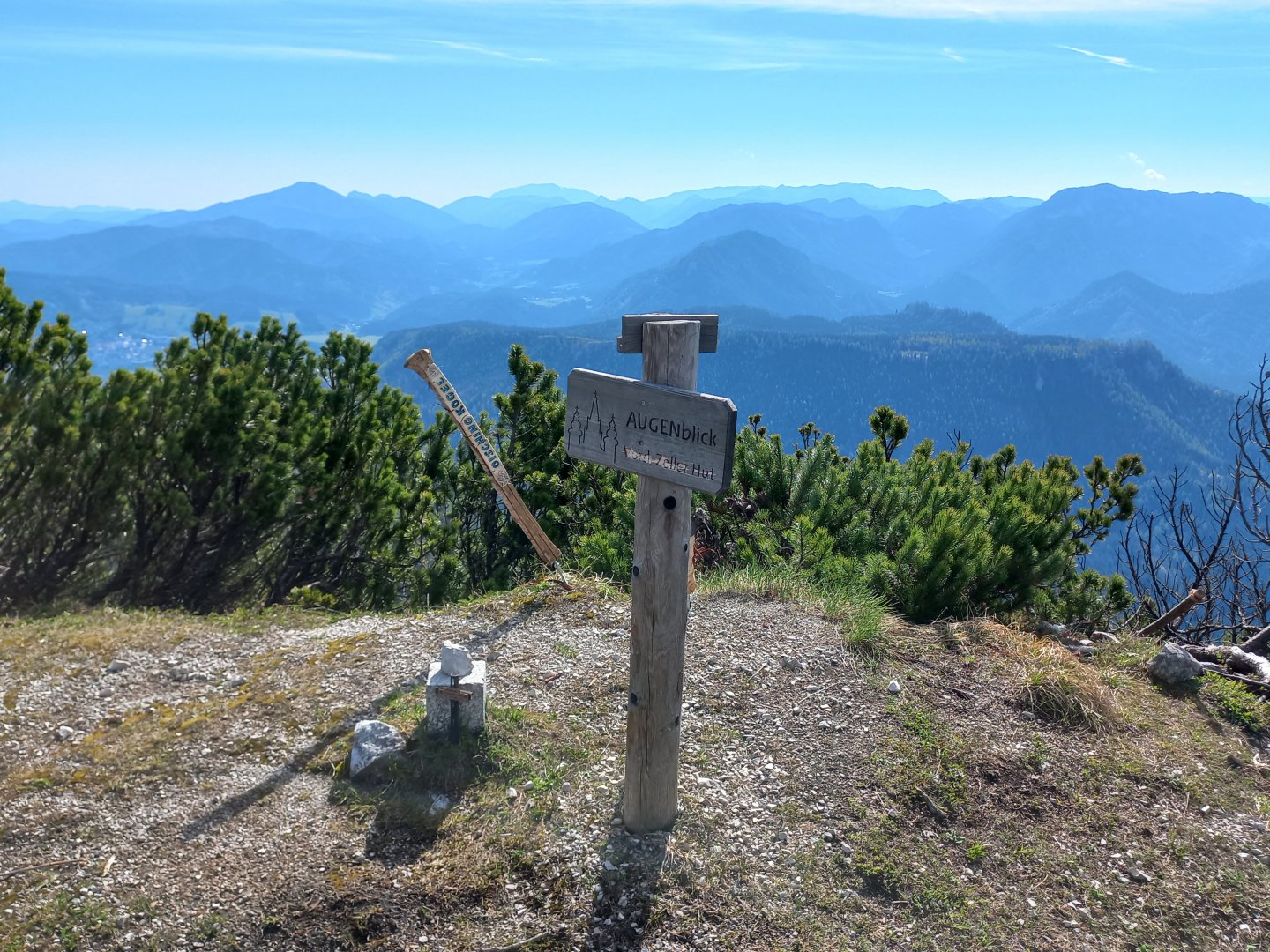
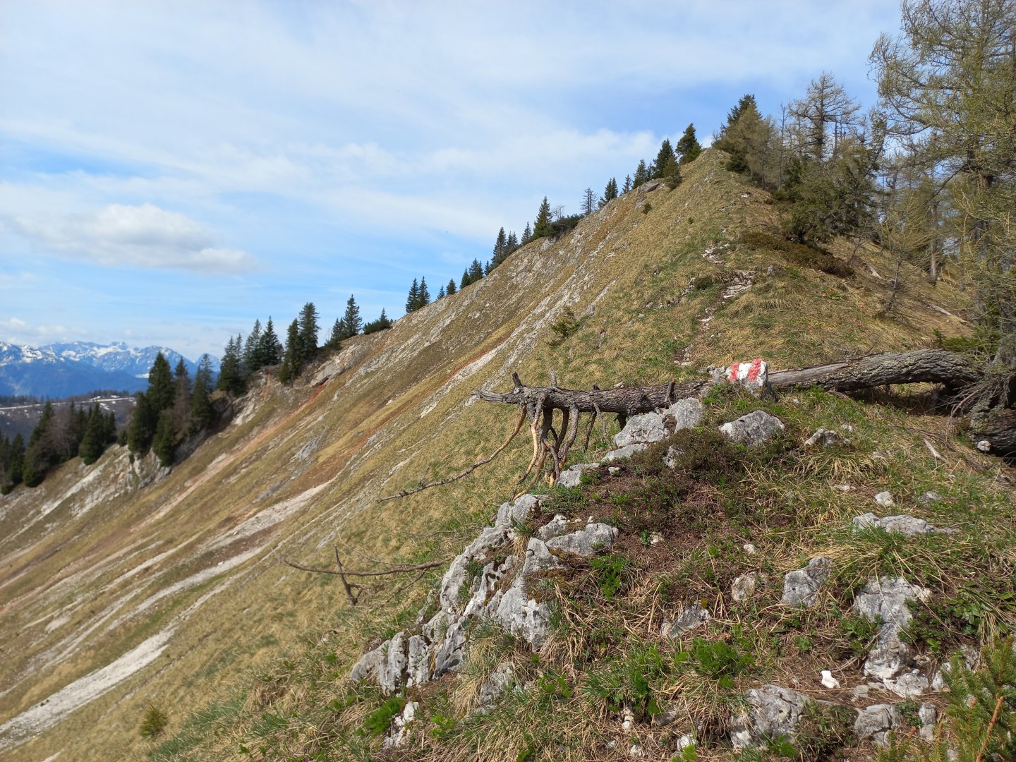
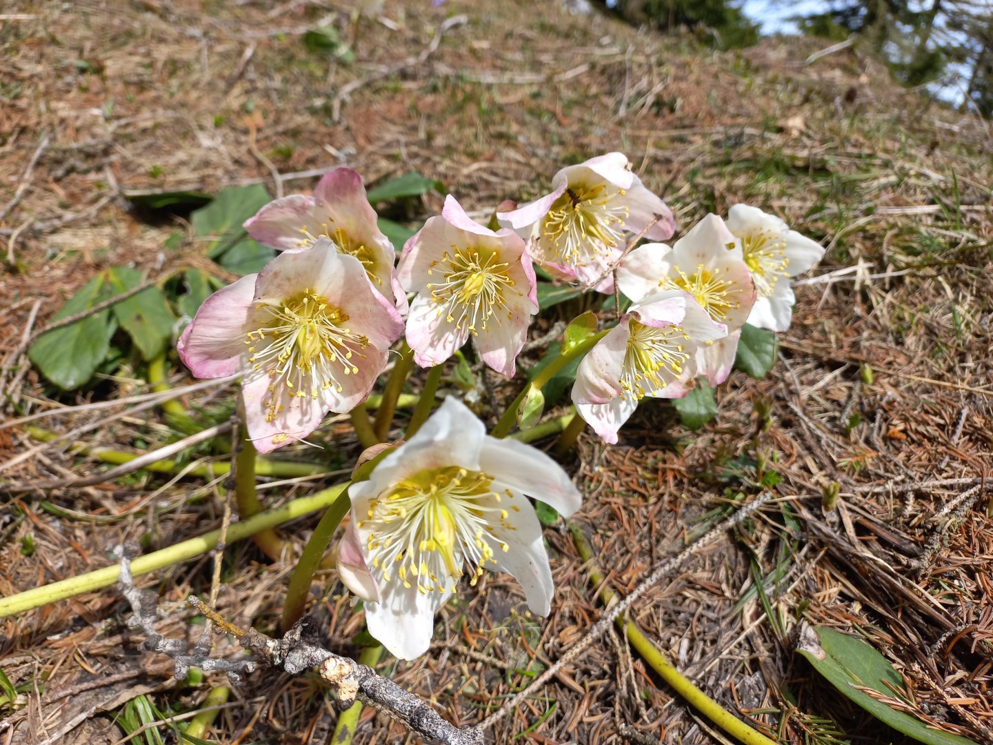
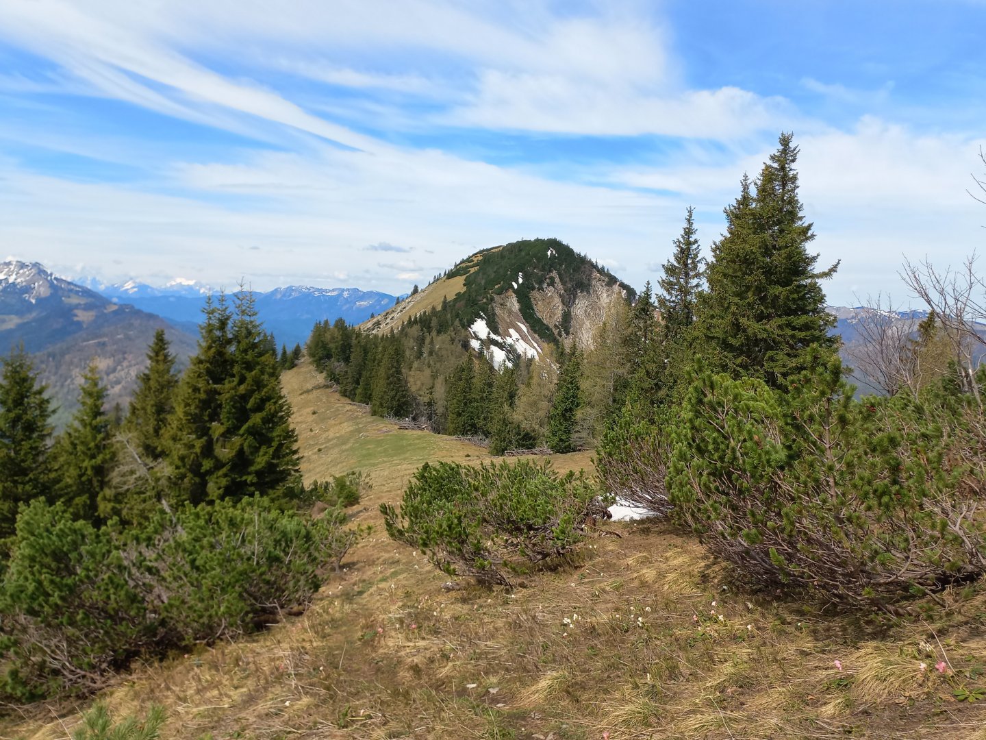
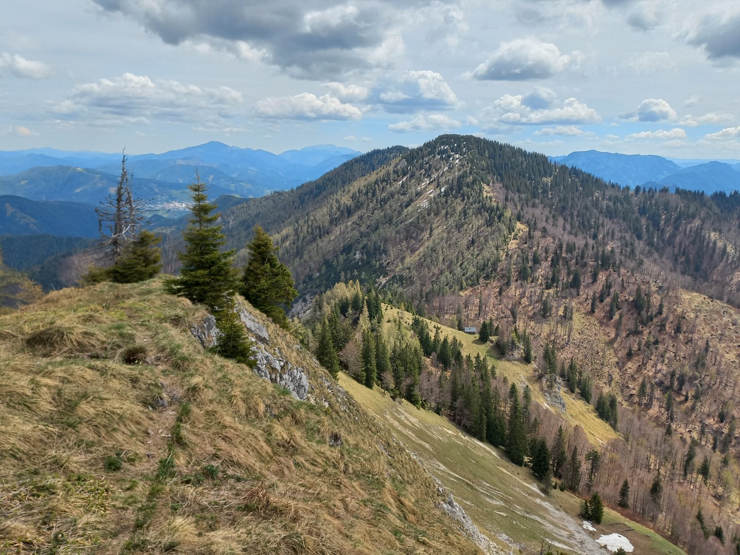
The trail follows a ridge, at times it follows meadows full of snow roses, primroses and other spring flowers, at other times it winds its way through kneeling. The trail is safe, gravel, no large rocks, no scrambling. It's a perfectly relaxing walk, where I can look around the landscape and enjoy the views. The Vorderer Zellerhut (1629 m) is without a cross, from which the path then descends to a clearing where a hunting lodge stands. Not far from it is a spring with a wooden trough. Following the edge, I climb up to Mittlerer Zellerhut (1586 m), the small limestone cliffs here are sometimes coloured red. Even Mittlerer Zellerhut is without a cross, with a small cairn of stones piled on top.
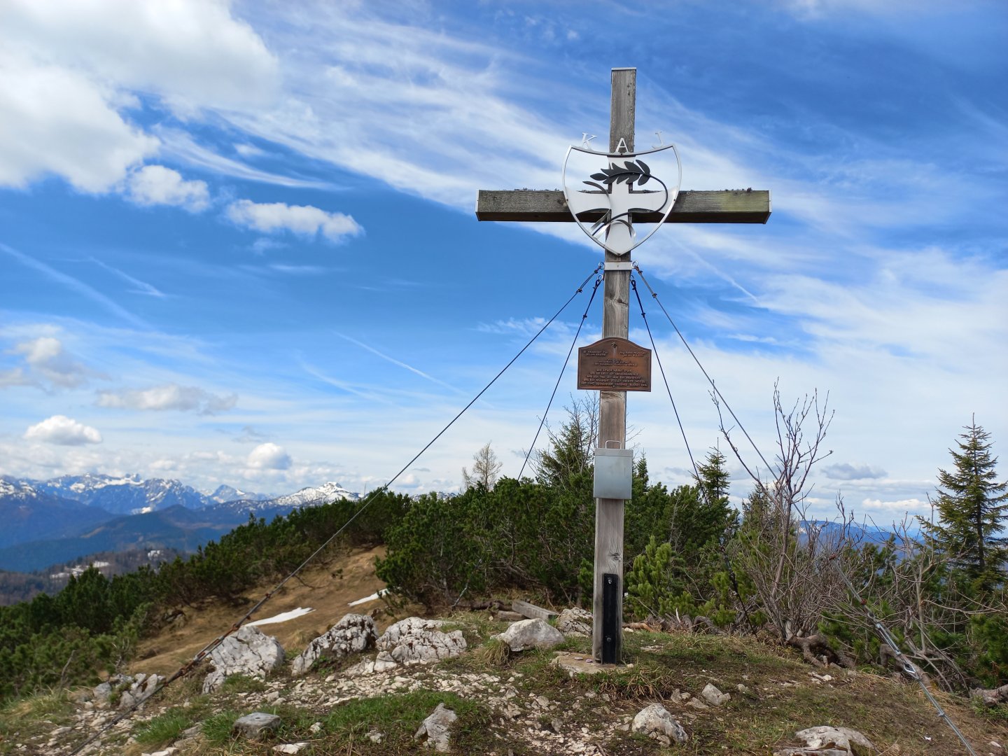
Behind it, I approach the last peak on the trail, Grosser Zellerhut (1639 m), across a meadow. On it is a summit cross dedicated to friends who died in the mountains around the world. After resting for a while, I return the same way via Mittlerer Zellerhut to the hunting lodge where the descent to Grünau begins. A chamois the size of a year-old calf makes the beginning of the descent even more interesting. The footpath first drops down quite steeply in serpentines, sticks are useful, after a few dozen metres it turns right into the forest and then along the stream into the valley. In about an hour and a half I am back at the road.
Difficulty
Circular trek along marked hiking trails. Between Feldhüttl and Grosser Zellerhut along the ridge. No exposed places. Slightly steeper descent from the hunting lodge into the valley.
Water availability
Water to go, streams on the way, spring at the crossroads below Mittlere Zellerhut.
Sleeping options
There is no lodge on the route, there is plenty of accommodation in the valley.
Sleeping in the wild is very limited in Austria and varies from state to state. But in general we can say that sleeping outdoors in the forest zone is forbidden - you can of course make arrangements with the owner of the meadow, for example. You can find detailed rules about sleeping in the wild in Austria in our article Rules for bivouacking in Austria.
Mountain peaks
Climb to Oischingkogel, Vorderer, Mittlerer and Grosser Zellerhut. Views of the Gemeindealpe, Ötscher, the Ybbstal Alps, Hochschwab, Dürrenstein and more.
Danger
The route follows marked hiking trails, it is not dangerous.
Food
There is no hut on the route, food with you.
Attractions
At the foot of the Grosser Zellerhut, the Ybbs River rises, giving its name to the Ybbstal Valley and the surrounding mountain range. The river is first called Weiβe Ois, then just Ois and somewhere from Lunz am See it is called Ybbs. After about 130 km it flows into the Danube.
The strong flow of the river has been used in the past for industrial purposes for wood processing, ore and power generation. This has contributed to massive pollution of the stream. In the 1980s, however, Lower Austria started to build a water treatment plant on the Ybbs and today the water is clean even in the lower part of the river.