Mountain range, region / State
Adamello-Presanella / Italy
Season
Summer
13. 08. 2024
Difficulty
3 / 5
Elevation
↑ 1039 m
↓ 1039 m
Length
15.1 km
7 hours
Altitude
max. 2704 m n.m.
min. 1796 m n.m.
Tips for hikes in the country Italy
Trek to the Cima del Cacciatore from Monte Lussari
Trek to Bila Pec from Sella Nevea in Italy
A trip around the beautiful Lago di Fusine lakes in Italy
Challenging climb up the Cima Cop di breguzzo in Italy
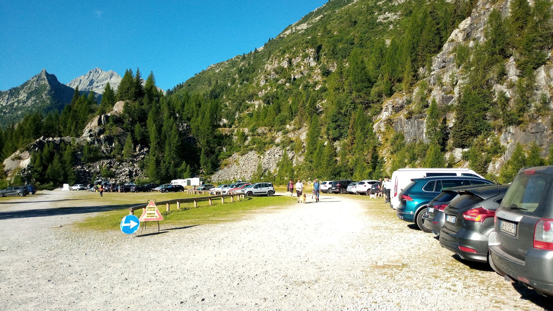
Starting point
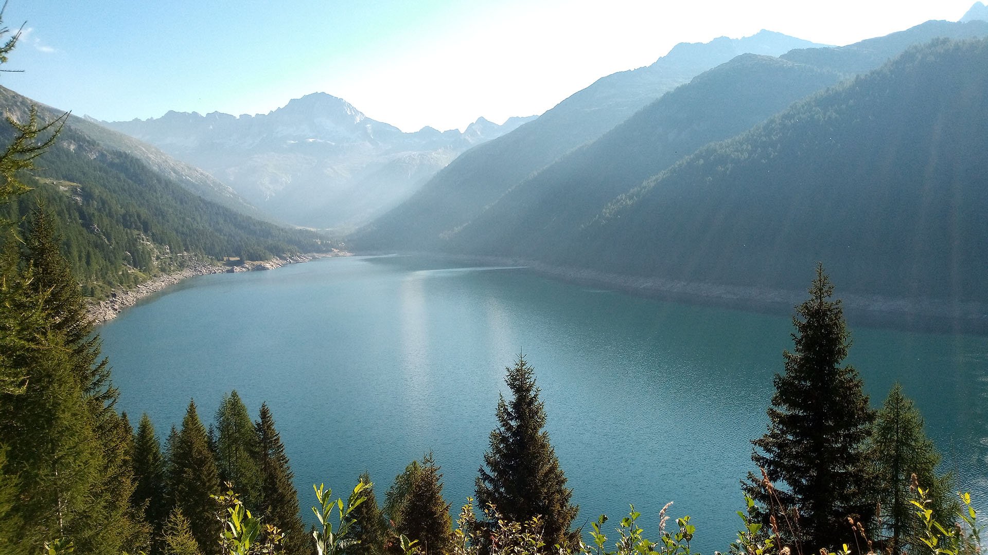
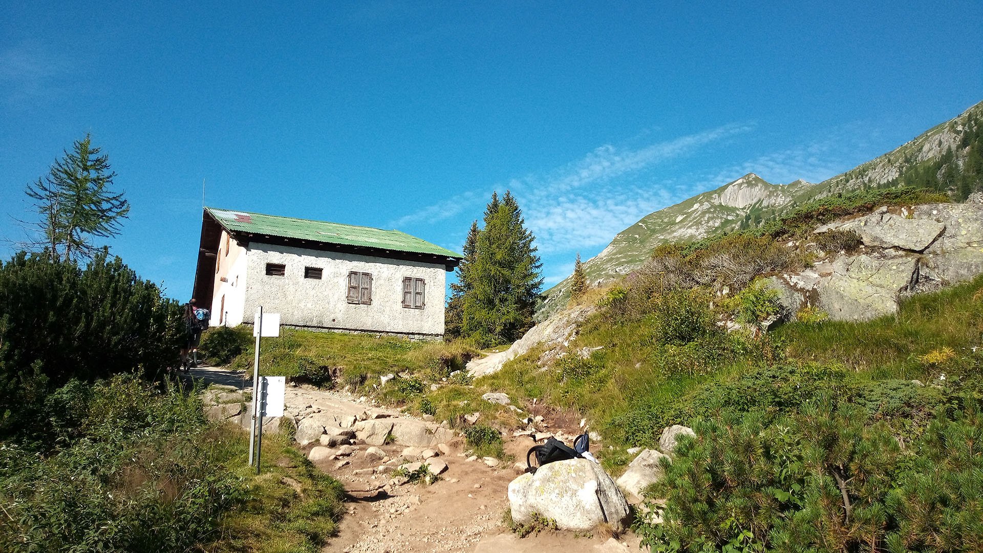
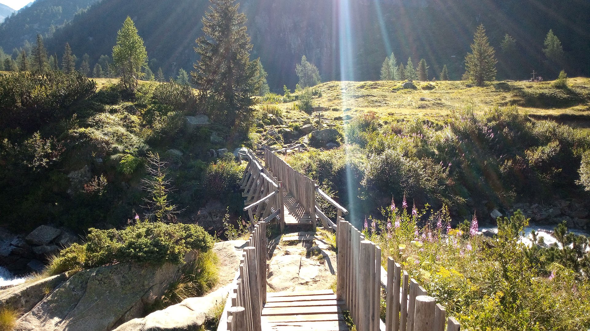
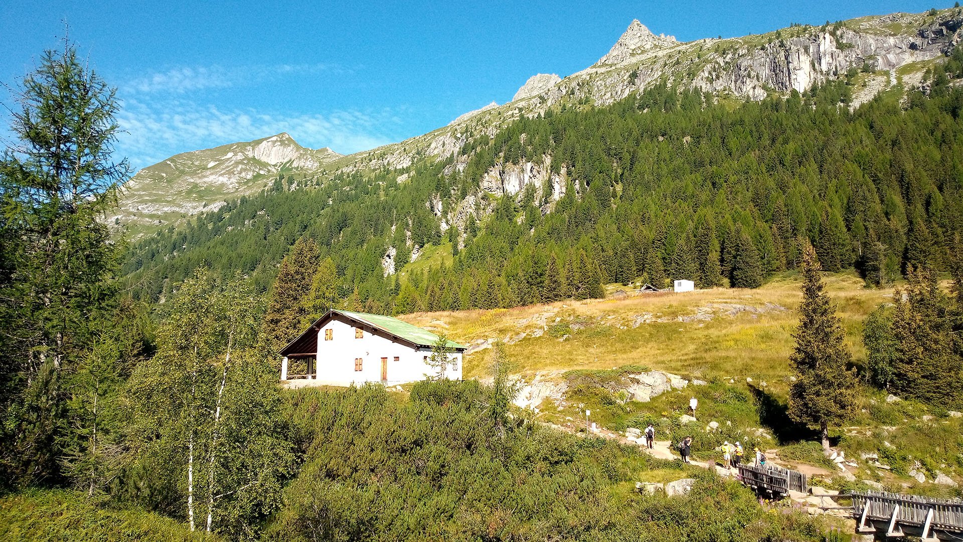
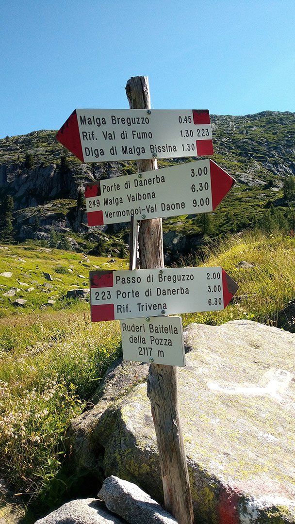
We start at the car park above the dam of Lago di Malga Bissina. The parking lot is paid - 7 EUR per day. The car park can be reached by road from the town of Creto, via Bersone and Daone or Praso and Daone. On the way you will pass another lake - Lago di Malga Boazzo. The hike starts behind the Malga di Bissina hut, after the wooden bridge by the signpost, route 223.
Description of the hike
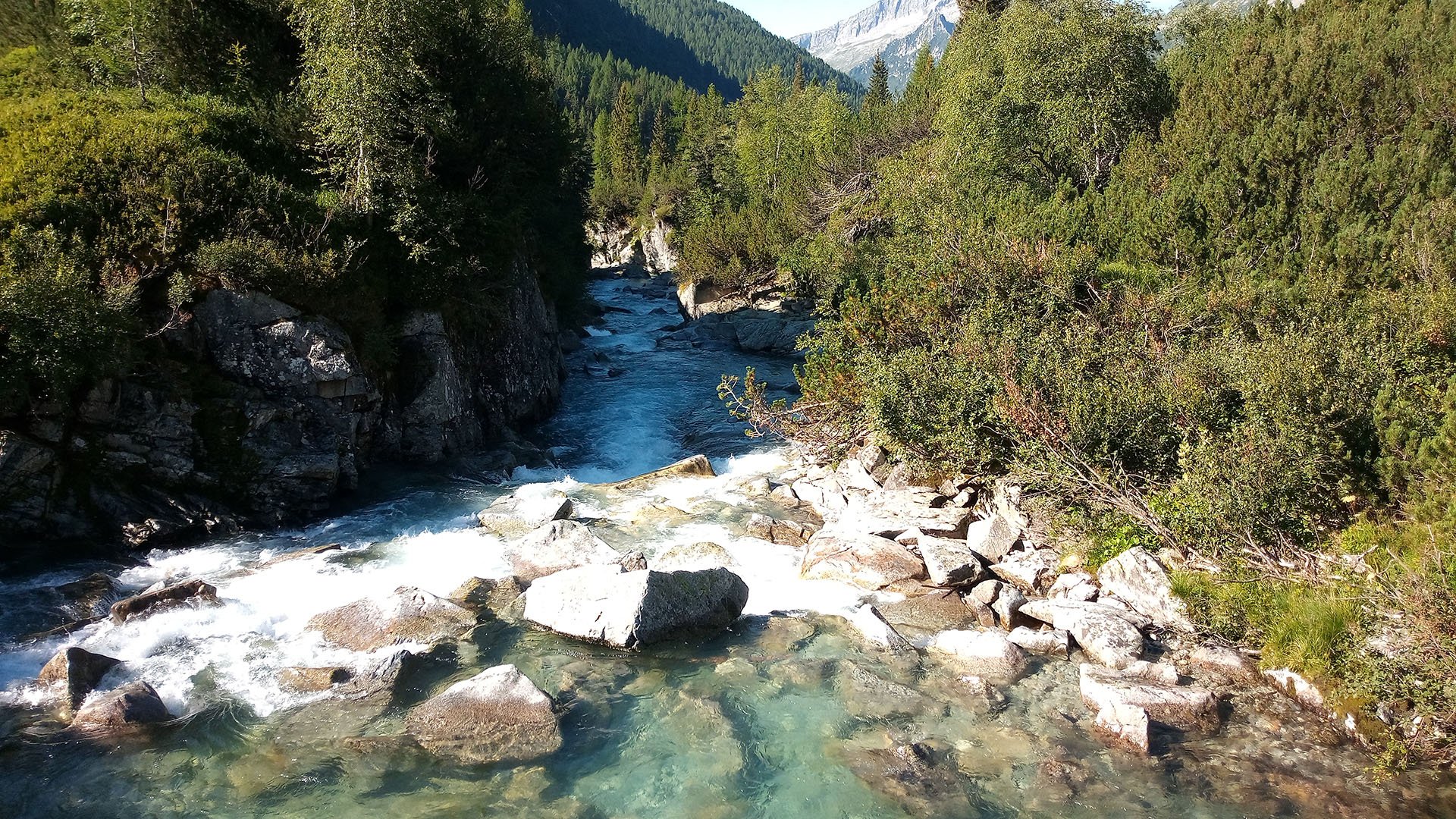
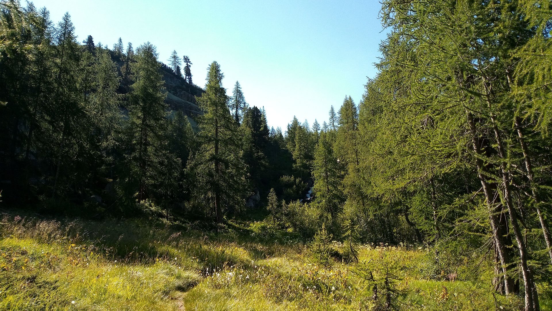
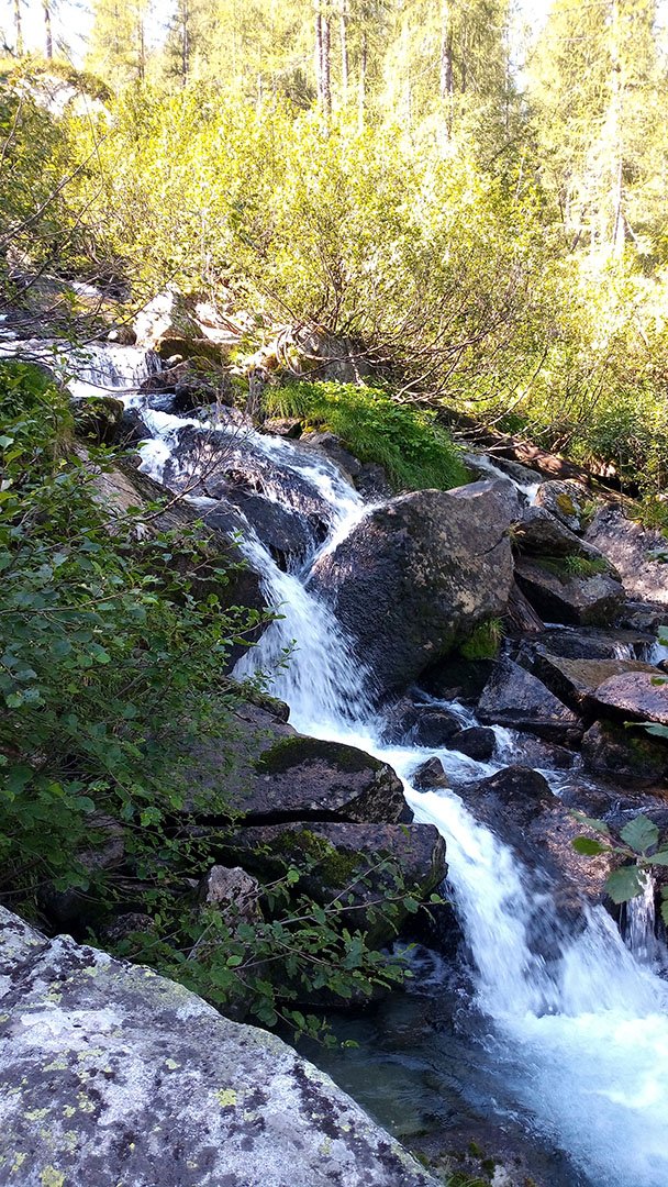
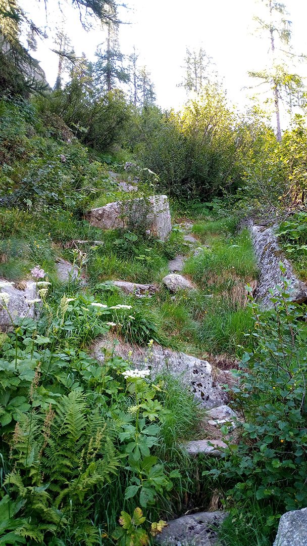
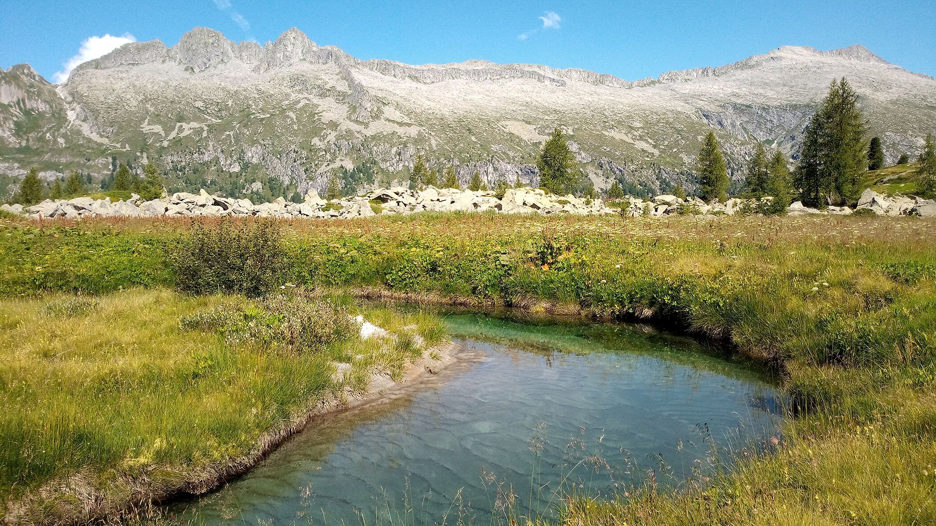
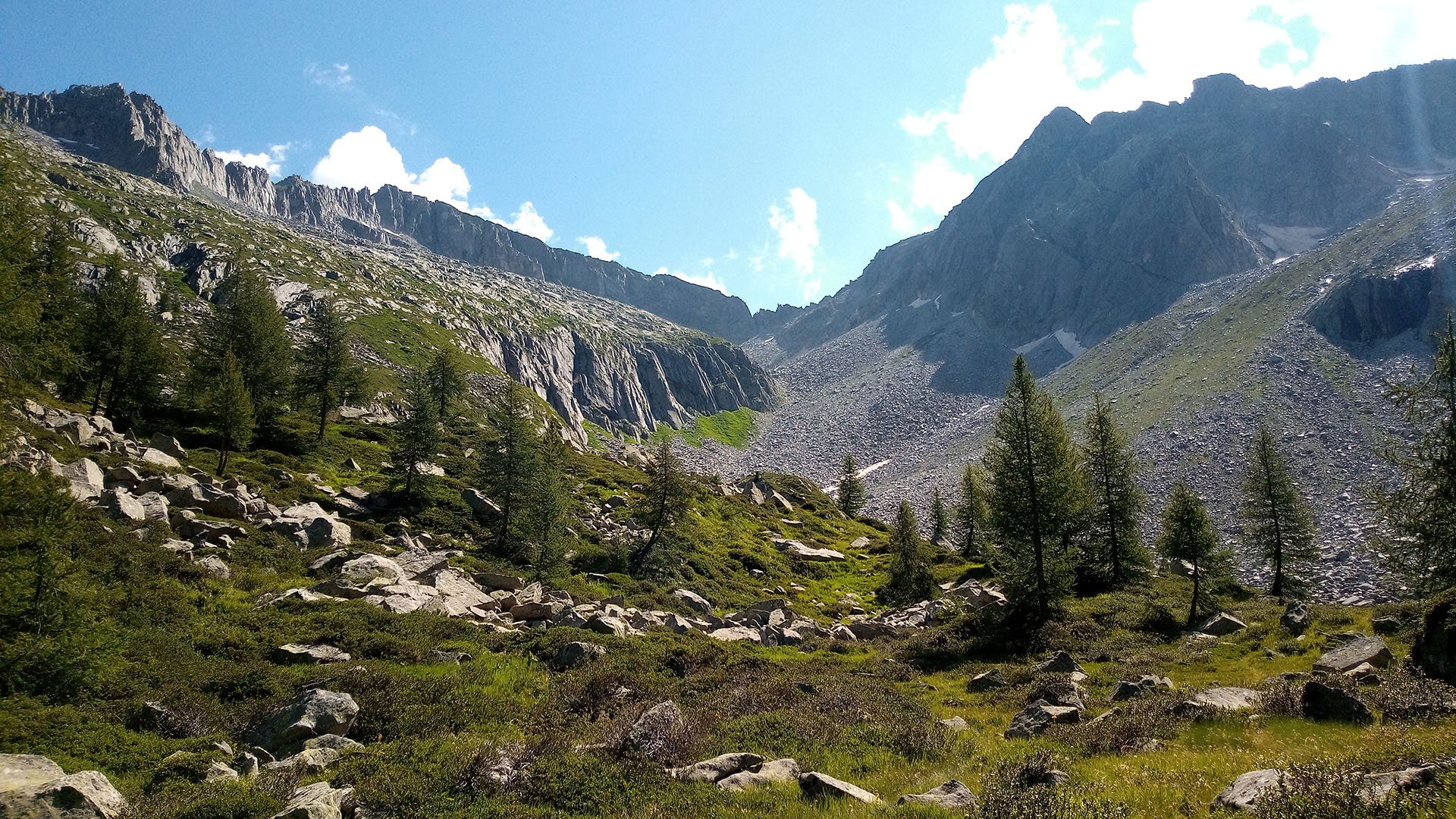
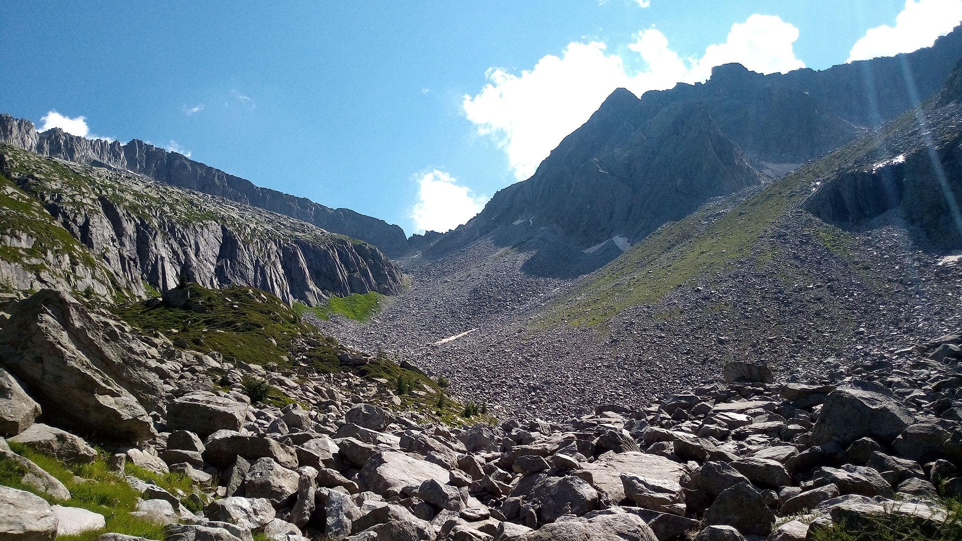
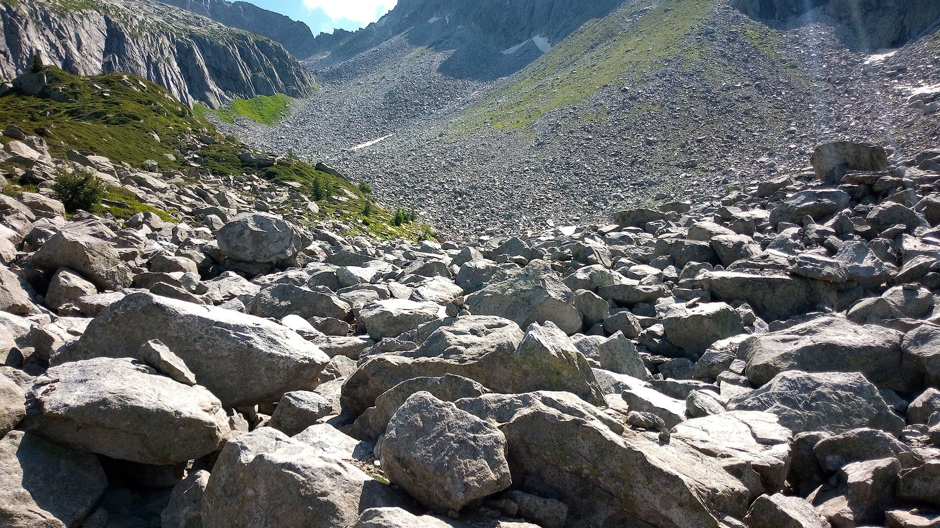
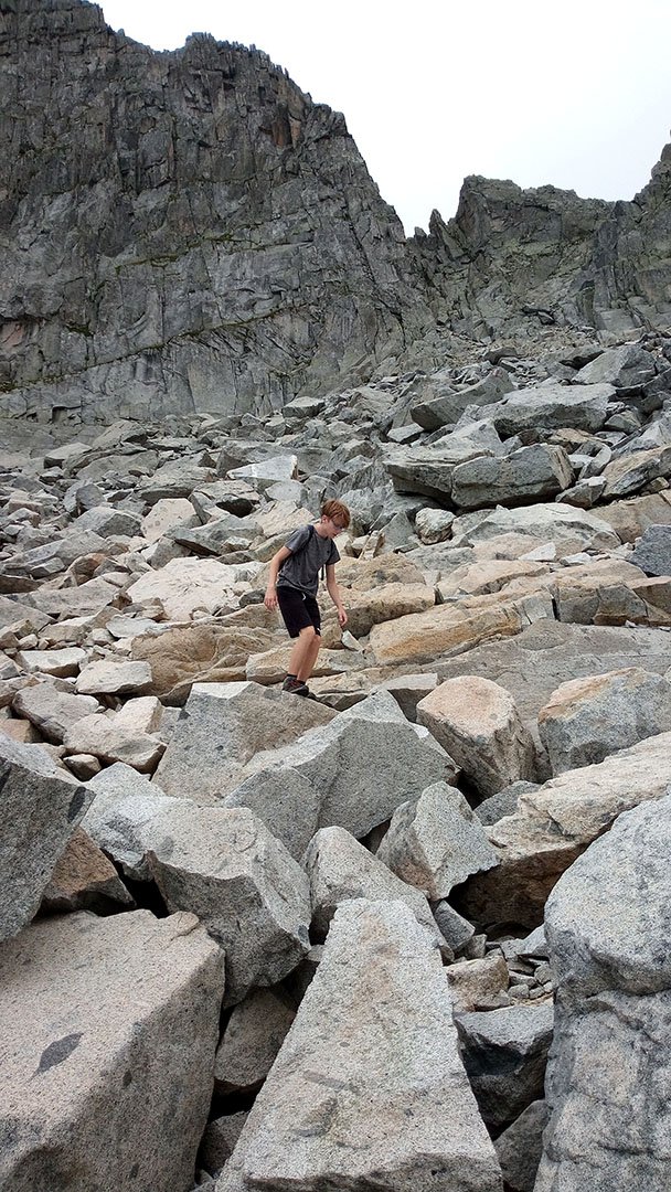
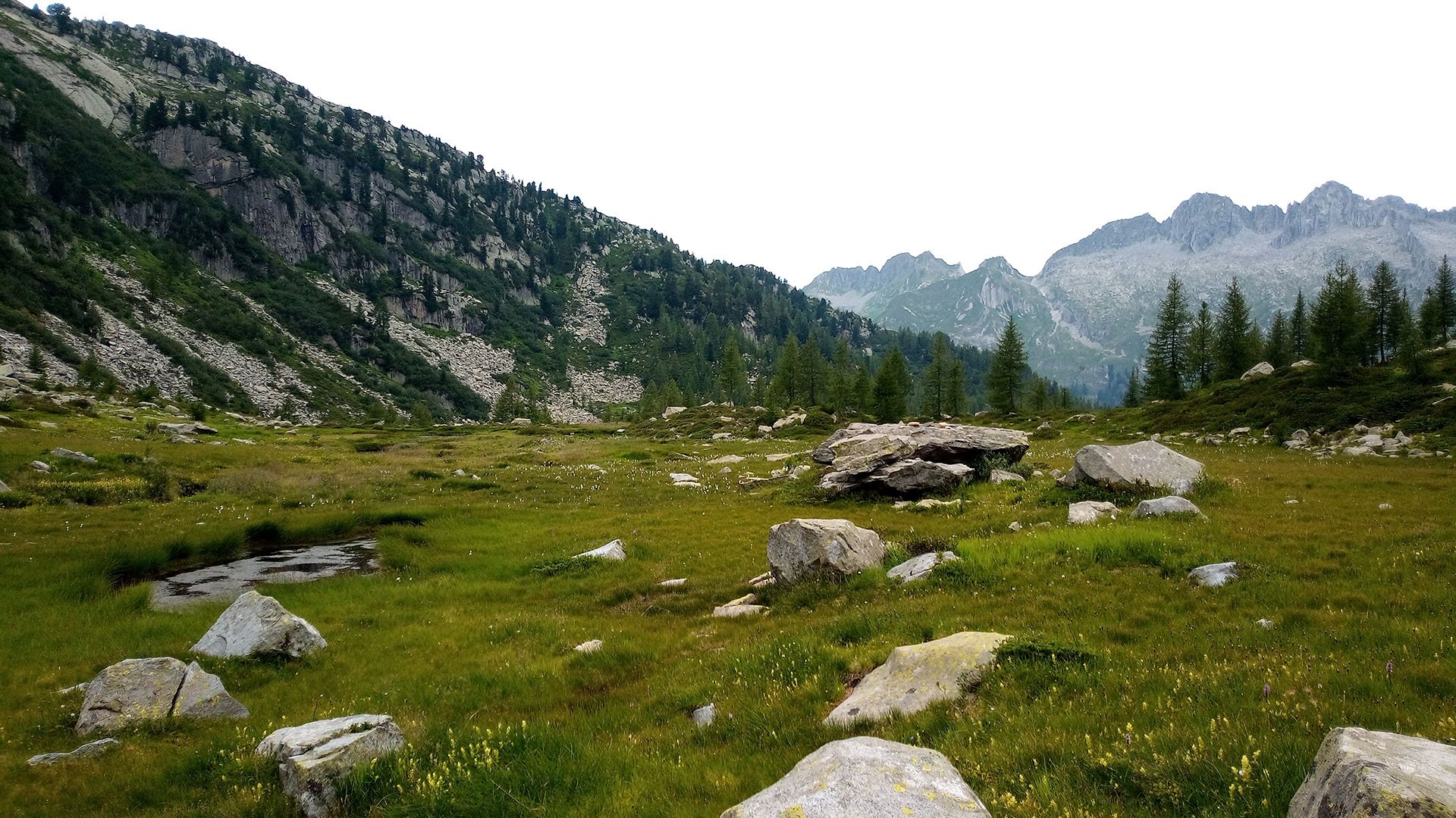
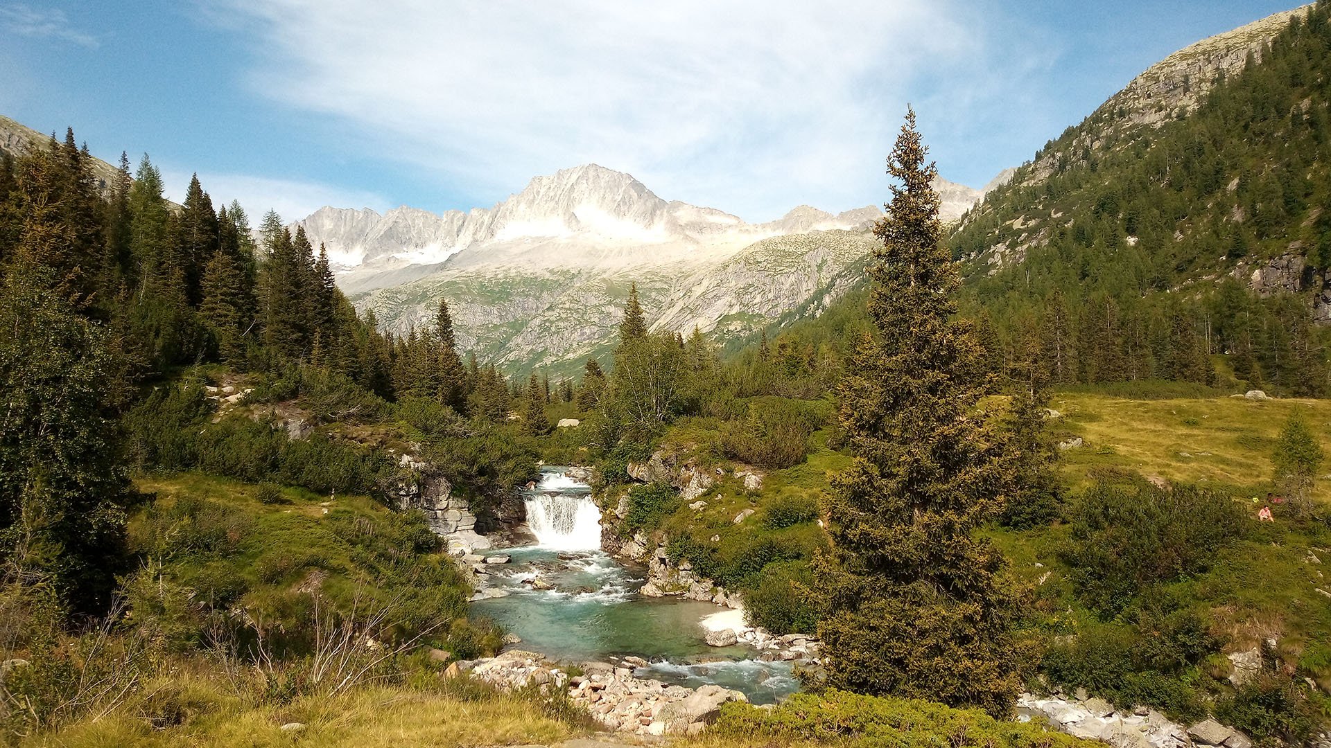
From the car park above Lago di Malga Bissina follow the red and white marked route 240 to the end of the lake. After the Malga di Breguzzo hut, follow the wooden bridge to the signpost, then turn right on route 223. After the first break, another signpost, heading towards Passo di Breguzzo, basically perpendicular up over the rocky sea. Then through the valley, past a beautiful stream, springing up under the massif. Ascending the first steep slope on large stones, the route is marked both by markers on the stones and by manikins (not everywhere).
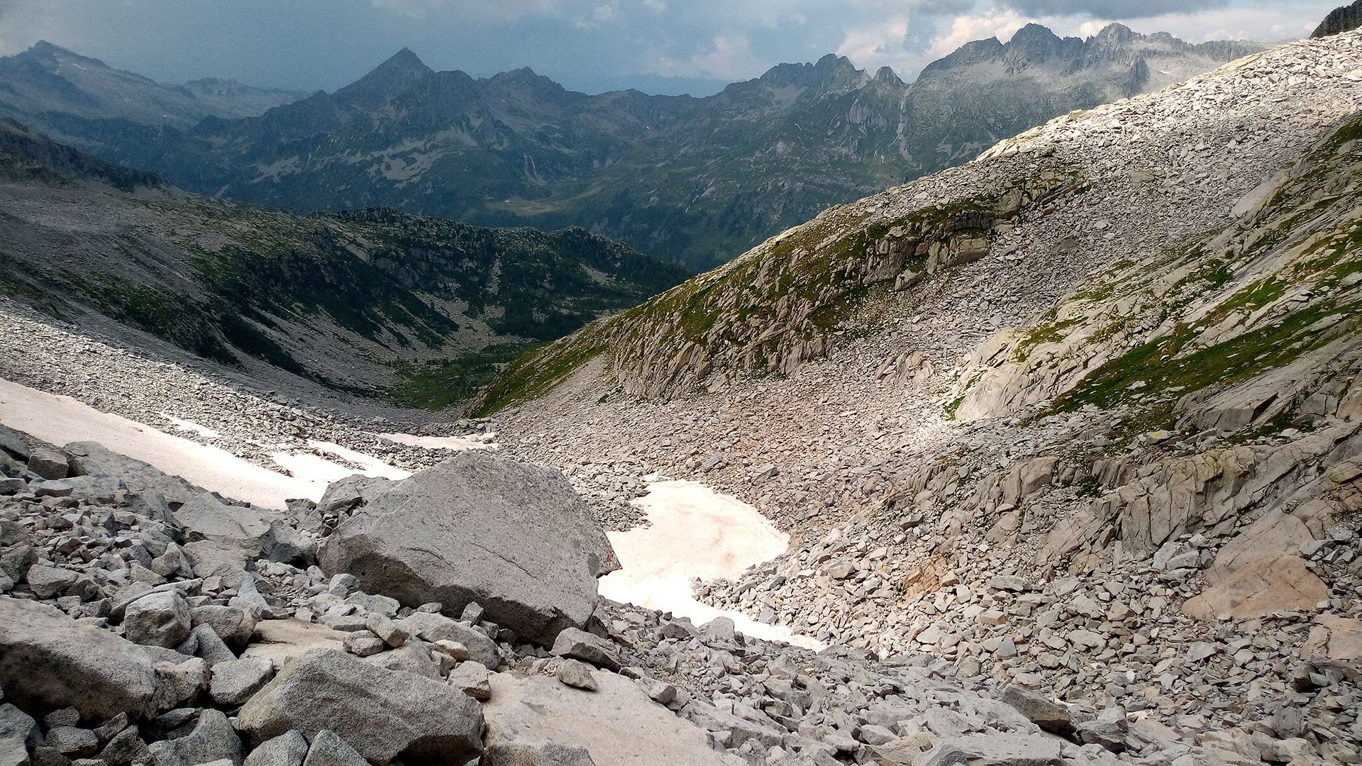
After the next break, there is a snow area and the ascent to the last steep slope over rubble and large rock blocks. At 2700m we were caught in the rain and had to turn around. Same way to the lake and the parking lot. When descending at the bottom of the trek in the overgrown part, be careful of the aforementioned streams and holes. We recommend good hiking shoes, windbreakers, and feel free to use trekking poles. Plenty of food and water is a must at such altitudes. The total length of the hike is 15.5 km and 988 m up and 988 m down.
Difficulty
At the beginning the path is overgrown and not very visible, with many hidden streams and holes. After the first jump (2119 m) you continue straight on the valley floor and then the gradient rises and you climb on large rocks. At the next break you continue on snow to another slope with rubble and then huge rocks. Unfortunately, 65 m below the Passo di Breguzzo saddle, the weather crossed our plans (it got cloudy and started to rain), so we were forced to turn around at about 2700 m above sea level. We definitely recommend at least some solid physical condition for this hike, proper hiking boots, a windbreaker and of course plenty of provisions and water.
Water availability
We had 3.5 liters of water for two people and it was just enough. I drank water while descending one of the streams and no problems.
Mountain peaks
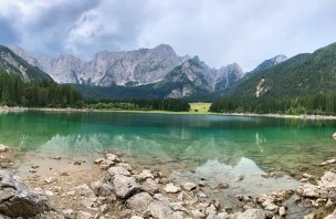
The original goal of the trek was the Cima Cop di Breguzzo mountain. Unfortunately, due to the rapid change of weather we did not climb to the top. Even so, there were beautiful views of the entire Adamello-Presanella mountain group along the way.
Danger
Signs lining the national park warn of the risk of encounters with bears. The crossing of the stone field is also challenging, with some of the stones being really huge.
Food
We had with us buns, salami, pâté, biscuits, grape sugar.
Photos