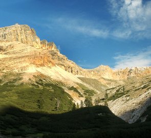
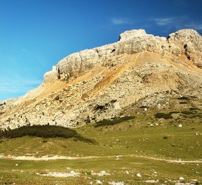
Mountain trek to Piz Conturines and Lavarela in the Dolomites
Mountain range, region / State
Dolomites in Alps / Italy
Season
Summer
21. 07. - 23. 07. 2010
Difficulty
3 / 5
Elevation
↑ 2043 m
↓ 2043 m
Length
25.6 km
3 days
Altitude
max. 3064 m n.m.
min. 1724 m n.m.
Tips for hikes in the mountain range Dolomites in Alps

6-day crossing of the Dolomites along the Alta Via 1 route

Circular trek at the waterfalls in the Fanes Sennes Braies park in the Dolomites

Trek with the best ferrata in the Sexten Dolomites
Climbing the Piz Conturines and Lavarela mountains in the Fanes-Sennes-Braies National Park
Starting point
Parking at the Cap cottage. Alpina, which is at the end of the turn off the road leading from the Passo Falzrego saddle. From the car park there is a signposted path into the mountains.
Description of the hike
1. day
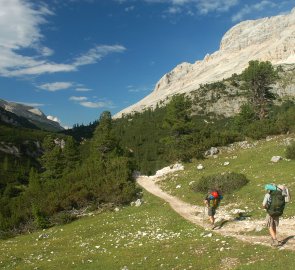
We started this trek on arrival at the parking lot of the Cap hut. Alpina in the Fanes-Sennes-Braies National Park (Fanes-Sennes-Prags in German). We arrived here just after lunch just as a summer thunderstorm started. Therefore, we waited it out in the car and didn't leave until late afternoon. From the parking lot, there is a marked trail #11. It is a wide road at the beginning, which turns into a trail as you get higher. We gained elevation fairly quickly on the first kilometer.
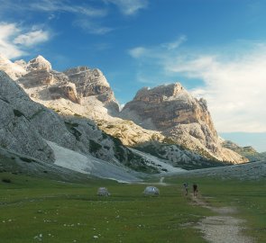
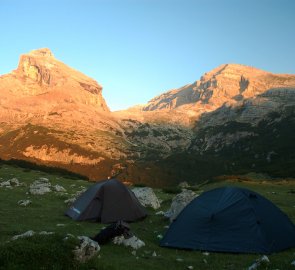
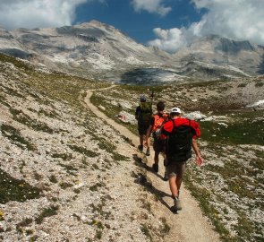
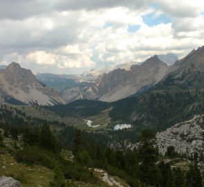
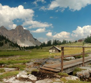
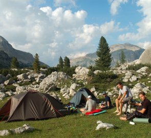
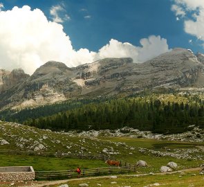
Then the road flattened out and we found ourselves in the beautiful Fanestal valley. At first we walked amongst the slash and burn, eventually finding ourselves in meadows that serve as pastures. It's a really nice path, almost straight. (photo) After about 2 km we came to a turn-off that leads to the mountains Piz Conturines 3,064 m above sea level and Lavarella 3,055 m above sea level. So we set up our tents among the rocks in the valley and spent the night there. (photo)
2. day
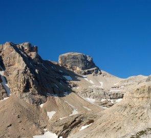
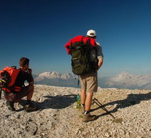
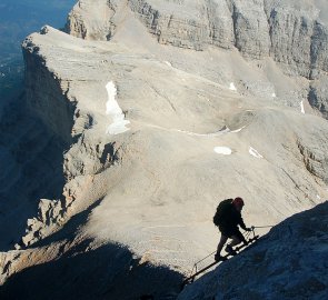
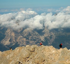
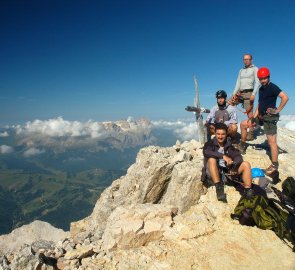
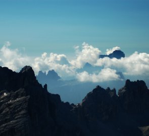
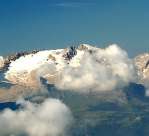
We got up in the morning, as the forecast called for thunderstorms in the afternoon. So we wanted to make the ascent as soon as possible. We left our tents set up, left our unnecessary stuff in them and we set off lightly. Since we were sleeping a short distance from the turnoff to the ascent route, we immediately connected to the marked trail and began our ascent. The trail took us first through the slash and burn. Later, as we gained metres, we found ourselves on a rocky path. We passed the Lago Centurines, which was almost dry. Finally we reached a large saddle between the mountains Lavarella and Piz Conturines. The views on the other side were already dizzying, as there are perpendicular cliffs several hundred meters high. (photo) First we went to the top of Piz Centurines 3,064 m above sea level. We walked through a debris field up to the rocks. Here begins the ferrata to the top. Ladders are used here, so the climb is very attractive. (photo) We climbed to the top of the mountain without any problems. The views are really beautiful, you can see all the most famous mountains of the Dolomites. (photo)
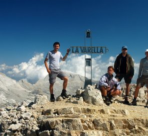
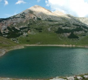
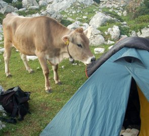
From the summit we returned to the saddle by the same route and continued to Mount Lavarella 3,055 m above sea level. In the serpentines we came out on the rocky base and following the trail, we reached the top of Mount Lavarella 3 055 m above sea level. From the top we continued on along the sign. This passage was very unpleasant. It was not belayed, and we had to cross rock breaks during the descent. Eventually we joined the trail, which we started to descend into the valley. (photo) In a beautiful landscape we descended comfortably to the Lavarella Hütte. Here we had a well-deserved beer. We then continued on to the Fannes Hütte and started to make our way back to the tents. From the hut we walked past the beautiful Lake Limose. (photo) We continued along the marked trail into the Fanestal valley and reached the tents without any problems. In the evening, we were made even more comfortable by a herd of cows. (photo)
3. day
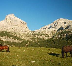
The last day was actually just a return day. We packed our tents and headed back to the valley to the car. Right at the beginning we were pleasantly surprised by a visit of horses (photo) who were very friendly. Otherwise we went the same way as the first day. Since we were no longer staying, we were at the car early in the morning. This ended a beautiful stay in the Fanes - Sanes - Braies National Park.
Difficulty
A beautiful trek with a small ferrata to the top of Piz Conturinas. There is no belay on Mount Lavarella, so those who don't want to take the ferrata can skip Mount Piz Conturinas. The ferrata to the top of Piz Conturinas is not difficult. It involves a short ladder and rock benches. However, the views of the valley are dizzying. On the other hand, the descent from Mount Lavarella is more challenging. The path is not secured with a steel rope, it is on a steep cliff and we had to help ourselves with our hands more than once.
Water availability
We got water at the hut parking lot. Another option is a stream in the Fanestal valley. The next day we restocked at the huts after descending from Mount Lavarella.
Sleeping options
We spent both nights in tents in the Fanestal valley near the Tadega Joch saddle. The road to both peaks turns off here at the same time.
Mountain peaks
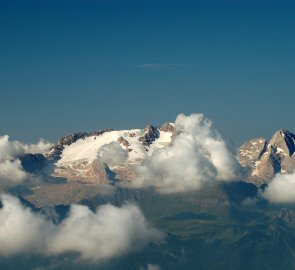
From the peaks of Piz Conturines 3,064 m above sea level and Lavarella 3,055 m above sea level, there are fantastic views of other Dolomite giants - Marmolada, Piz Boe, Monte Pelmo, the Tofan group and others.
Danger
The ferrata to Piz Contruinas is short and uneventful. It consists of a ladder and several rock benches, secured by a steel rope. Equipment for the ferrata is necessary. The most unpleasant part of the trip was the descent from Mount Lavarella. The path leads along a rocky path between the rocks. There is no protection, so we often had to use our hands or walk on all fours. After leaving the rocky part it is already a beautiful descent into the valley.
Facilities
As well as good footwear and clothing, sleeping gear - tent, sleeping bag and a mattress - is essential for this trek. For the ascent of the Piz Conturines mountain, it is also necessary to have safety equipment - a ferrata set and a helmet.
Food
Meals are available at the Lavarella Hütte and Fanes Hütte after descending from the Lavarella mountain. We cooked on gas stoves, and only had a beer at the huts after descending Mount Lavarella.
Attractions
Ferrata equipment is required for the Piz Conturines mountain. If you want to do the classic walk, then it is possible to skip the climb up Piz Conturines and go straight to the circuit over Mount Lavarela. It is also possible to shorten the whole stay to 2 days. However, we wanted to enjoy the comfort of the mountains and therefore stayed the second night in the Fanestal valley.
