Trek in Malá Fatra with ascent to Velký Kriváň
Mountain range, region / State
Malá Fatra / Slovakia
Season
Spring
15. 06. 2024
Difficulty
2 / 5
Elevation
↑ 1301 m
↓ 1301 m
Length
14.8 km
7 hours
Altitude
max. 1708 m n.m.
min. 688 m n.m.
Tips for hikes in the mountain range Malá Fatra
Trek over Velký Rozsutec in Malá Fatra

Trek to Velký Rozsutec via Jánošík's holes

Winter ascent to Velký Kriváň in Malá Fatra
Crossing part of the main ridge of Malá Fatra
Starting point
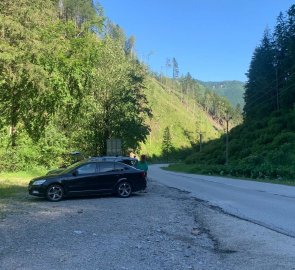
Parking by the road leading from Terchová to the bottom station of the cable car in Vrátná dolina. The green hiking trail starts at the parking lot. Parking is free of charge in this car park.
Description of the hike
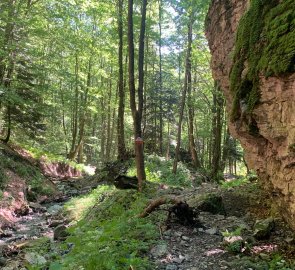
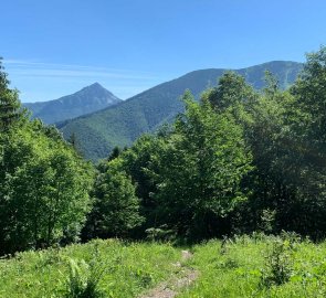
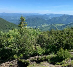
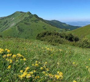
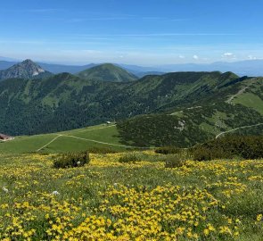
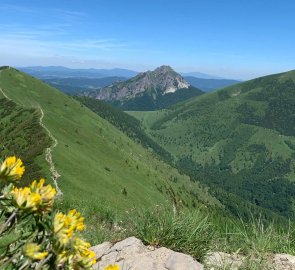
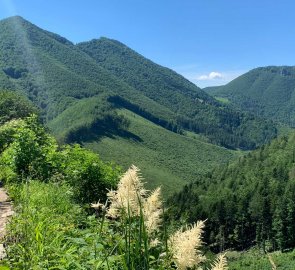
We started our trek along the Little Fatra by arriving from Terchová to a small parking lot in Vrátna dolina. Directly from this parking lot we started climbing up the forest trail, which was marked with a green hiking sign. The path climbs quite steeply along the stream. Eventually we climbed up to the first clearing with views of Velký Rozsutec. It was already a little below the saddle behind Kraviarsky, which offers a view of the main ridge of Mala Fatra. From the saddle, we continued to climb among the slash and burn forest on the ridge. The climb is again very steep in places. Finally, we joined the main ridge at the Bublen saddle. Here we rested for a while and enjoyed the views of Malý Kriváň and beautifully green mountain meadows.
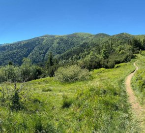
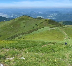
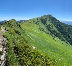
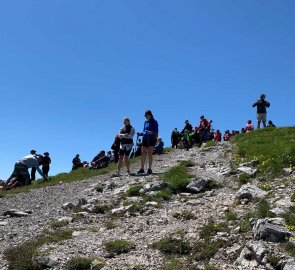
At the same time, however, there were more tourists, which was to be expected. From the saddle we continued towards Velký Kriváň. The climb was not so steep anymore and there were beautiful views on all sides. Soon we reached the highest peak of Mala Fatra - Velký Kriváň 1 709 m above sea level. The crowds of people who came by cable car from the valley spoiled an otherwise beautiful moment. Therefore, we did not stay long on the top and quickly continued on.
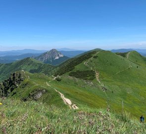
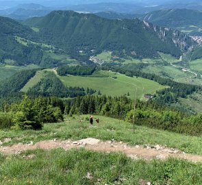
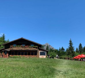
The path leads to the Snilovský saddle and then to the top of Chleb Mountain. Then we continued along the ridge to the mountain Poludňový grúň. After this mountain we left the ridge of Mala Fatra. We descended sharply in serpentines and along the meadow to the hut on Grúň. We continued along the yellow trail. We descended gently through the forest to the Vrátná valley. The last 300 metres or so we returned to the car along the road.
Difficulty
There is a fair amount of elevation to overcome on the route, so good fitness is definitely useful. The steep descent from the ridge to the hut on Grúni is also demanding. The crossing of the ridge itself is beautiful and not very difficult. The trail is wide. The trail can be managed by sporty children and dogs.
Water availability
Water can be refilled in the Panorama restaurant at the upper station of the cable car in Snilovský sedlo and at the cottage in Grúň. It is good to take at least 1.5 litres of water with you.
Sleeping options
There are accommodation options in villages around Mala Fatra, we had accommodation directly in Terchova. You can also find accommodation in cottages right in the mountains - Chata na Grúni and Chata pod Chlebom. Sleeping in the open air is strictly forbidden.
Mountain peaks
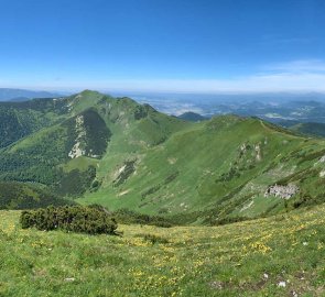
The route leads over several peaks, including the highest mountain of Mala Fatra - Velký Kriváň 1 709 m above sea level. You can see the Low Tatras, the Western Tatras, Velka Fatra, Orava and others.
Danger
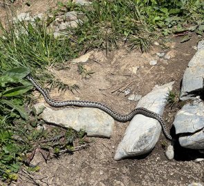
Technically, it is a classic mountain trek on footpaths and trails. There is no exposed section. Recently we often hear about bears in the valleys, we almost stepped on a viper. Be sure to watch out for thunderstorms in the summer.
Food
Restaurants are at the Chalet na Grúni and the Panorama Chalet at the top station of the cable car. It is definitely a good idea to have your own snacks, bars etc.
