Mountain range, region / State
/ Czech Republic
Season
Summer
16. 09. 2023
Difficulty
1 / 5
Elevation
↑ 726 m
↓ 726 m
Length
25.9 km
0 hours
Altitude
max. 527 m n.m.
min. 277 m n.m.
Tourist map of the Iron Mountains Protected Landscape Area
Tips for hikes in the country Czech Republic
Winter trip from Pernink to Blatenský vrch
Trip to the Horní Střela Nature Park
Autumn trip to Peperek hill in Highlands
Easy trip through the Iron Mountains around Třemošnice
Starting point
The trip to Železné Hory started with adrenaline right in Kolín at the train station, where I waited 20 minutes for a transfer, only to have to sprint across the whole station because the passenger train to Třemošnice runs from a small local track outside the station.
Okay, I made it in the end. I'm on an overcrowded carriage that is dangerously overheating and threatening to melt the soles of my shoes. I learn that there's a festival in Seč. I finally get off in Třemošnice and the 30 degrees outside suddenly seem beautifully refreshing.
Description of the hike
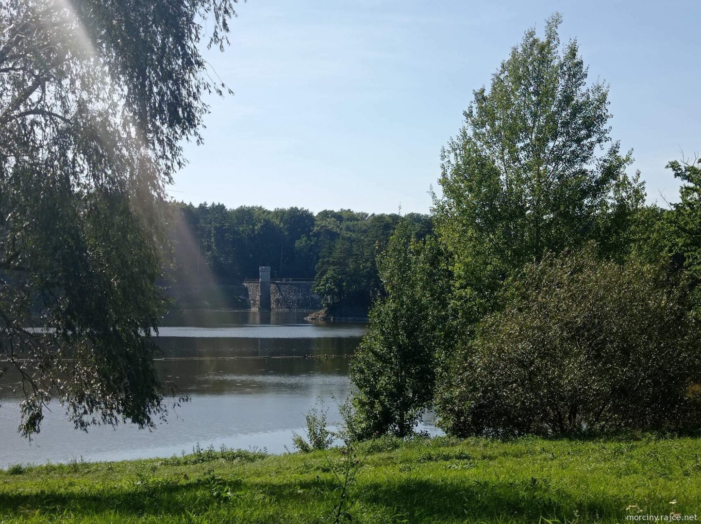
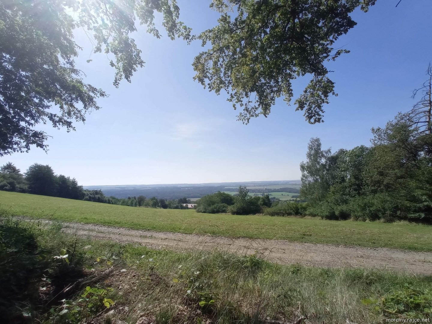
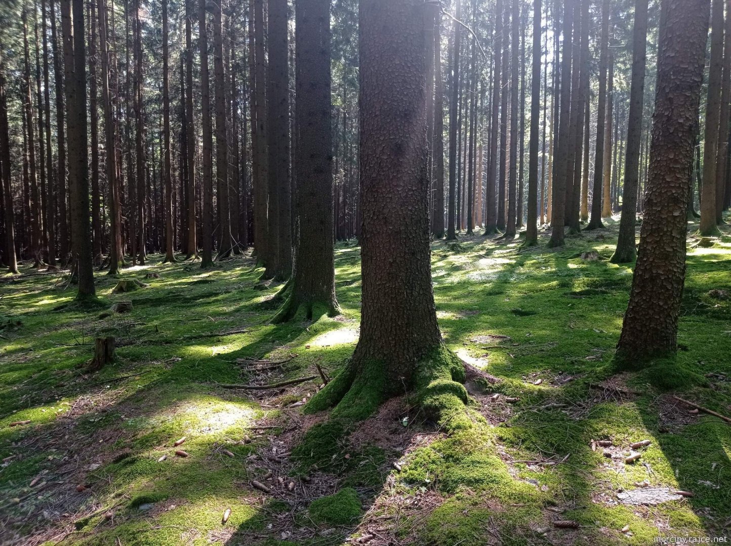
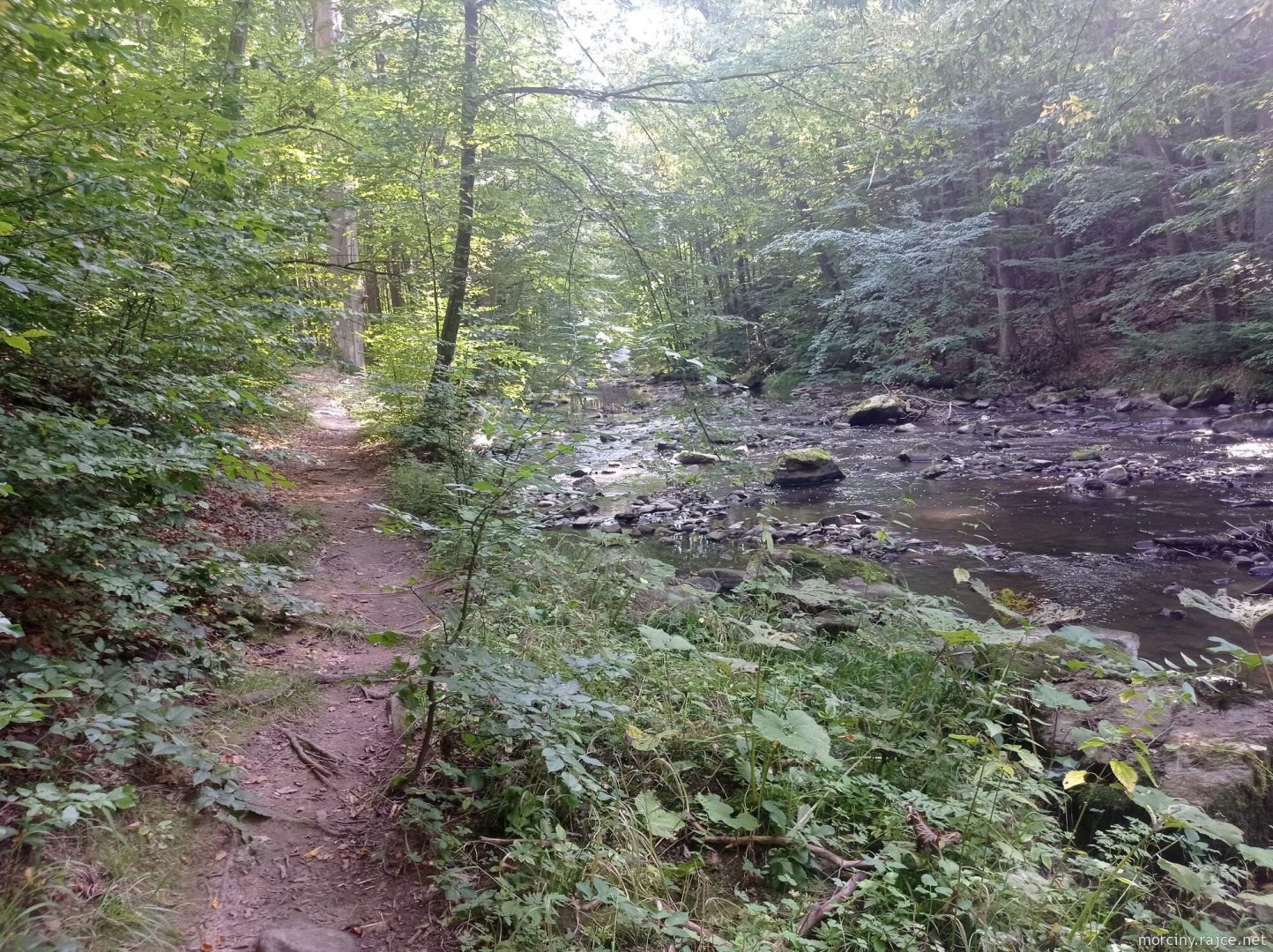
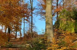
I head straight to the ruins of Lichnice, where I have breakfast biscuits. I continue across the Stradovský brook and Hedvičino valley to the red trail that runs along the Kaňkovy Hory National Park. To the sound of motocross I reach Běstvina, which I pass through and reach the second valley, this time the beautiful Doubrava River. It's hot, nobody is around, so I can't resist and go for a swim.
The dog looks at me incomprehensively, but does not join me, even though the water is shallow. I don't exactly impress him with my splashing either. But I don't let him spoil my good mood and we set off along the yellow trail back to Třemošnice. I decided that the Doubrava is my favourite river (there is also a beautiful route through the Doubrava valley near Chotěbor).
Difficulty
This is a simple day trip that even older children can easily manage. The route is not entirely suitable for a pram, unless it is in a sports version.
Water availability
For the whole trip I had enough water for about 1,5 liters. However, it is not a problem to buy provisions in Třemošnice or go to a restaurant, it is a dust.
Mountain peaks
On the route I will climb only one peak of the ruins of the castle Lichnice 504 m above sea level. Otherwise, the route leads more along the valley of the Doubrava River.
Danger
The route leads through a quiet Czech countryside, without any danger.
Food
I had my own snacks on the trip, but there are several restaurants in Třemošnice where you can eat.
Photos