Mountain range, region / State
Berchtesgadenské Alpy / Germany
Season
Summer
31. 08. 2024
Difficulty
2 / 5
Elevation
↑ 1287 m
↓ 31 m
Length
8.6 km
3 hours
Altitude
max. 1874 m n.m.
min. 612 m n.m.
Hiking map of the Berchtesgaden National Park in the Alps
Tips for hikes in the country Germany
Autumn ascent of the Hörndlwand in the Bavarian Alps
Zwiesel - Hochstaufen mountain pass in the Chiemgau Alps

Challenging climb to the highest mountain in Germany - Zugspitze
Climbing the Jenner from Königssee in the Berchtesgaden Alps
Starting point
The hike starts at the paid parking lot of the Jennerbahn cable car in Königsee. The B20 road leads up to the car park, and there are signs on other roads leading to the Jennerbahn.
Description of the hike
From the car park in Königsee (600 m above sea level) we set off at 11:30 towards the lower station of the Jennerbahn cable car. From there, the 493 Arnoweg route is already marked with signposts, the time to the Jenner summit is given as 4.5 to 5 hours. The climb starts immediately.
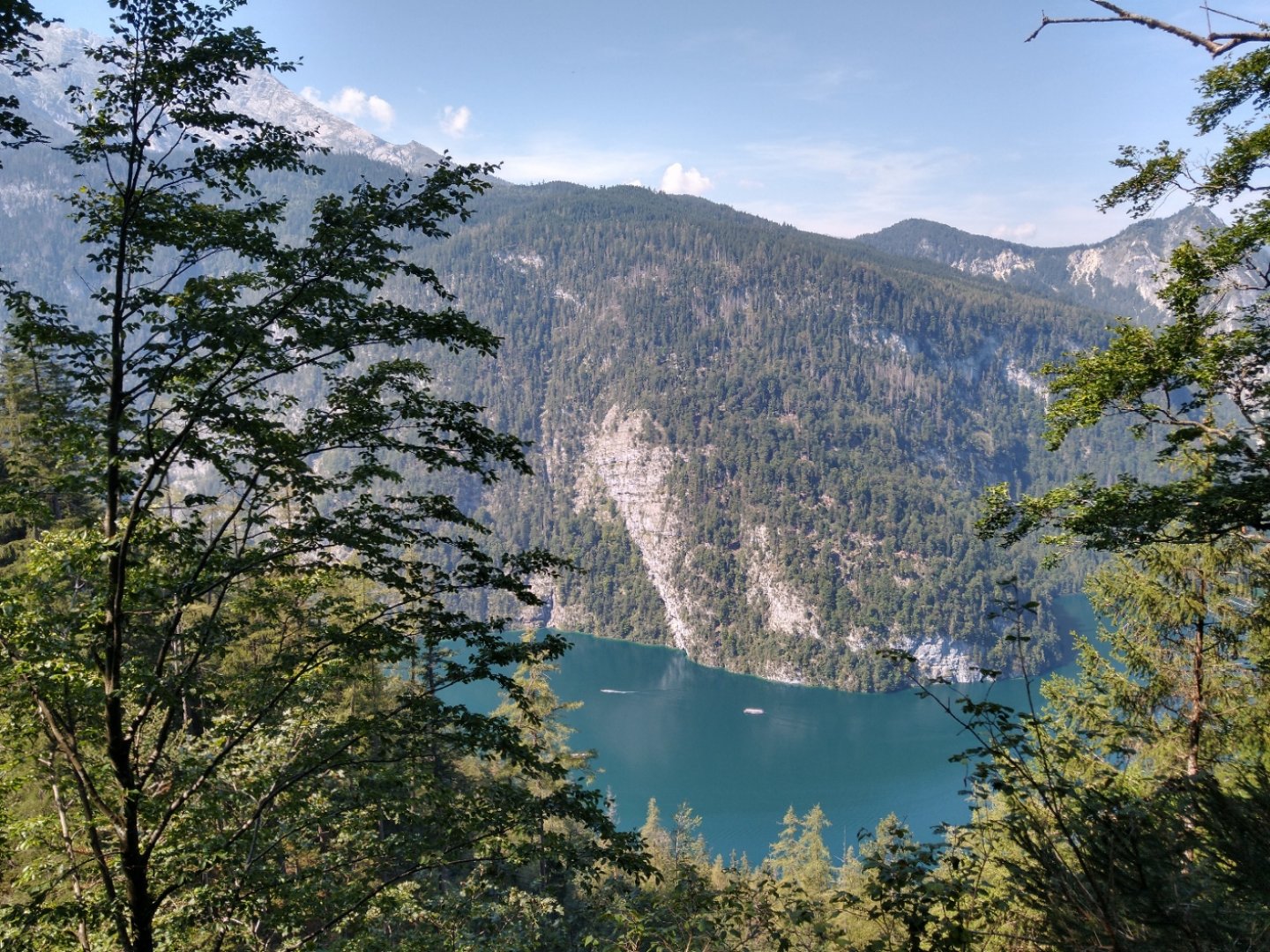
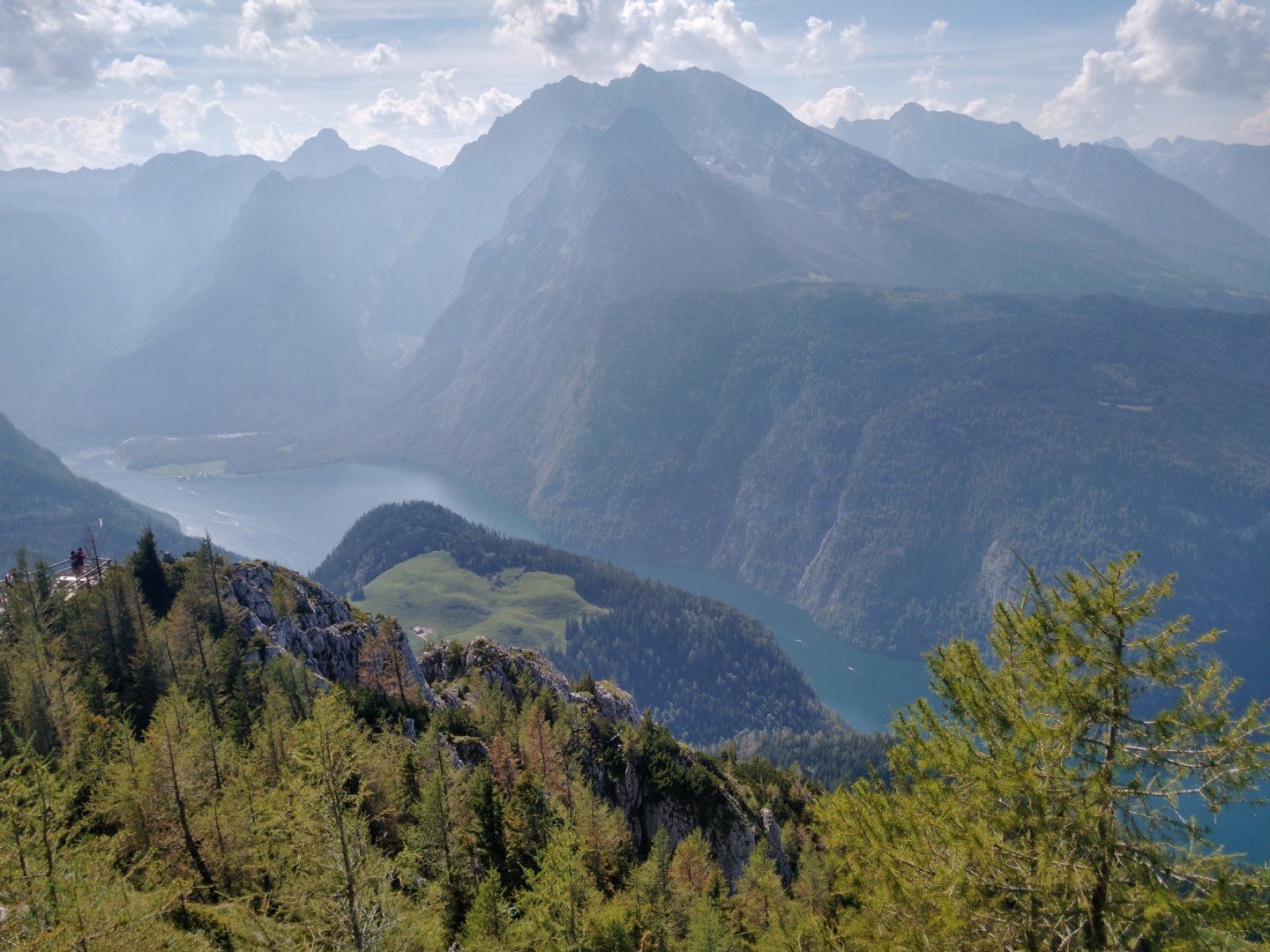
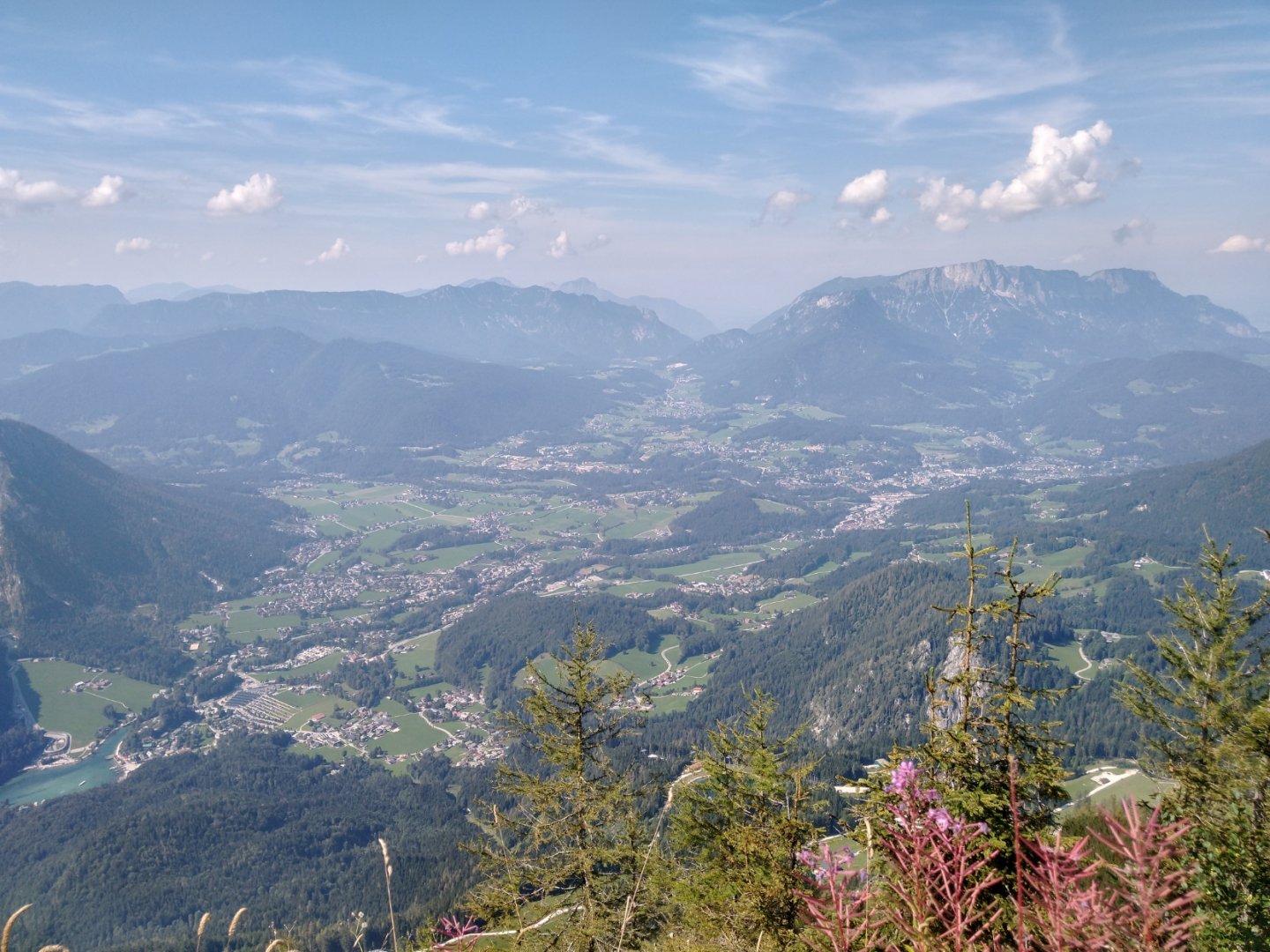
Initially, the path between the houses is on a local road, which turns to gravel as you enter the forest. The road leading south offers beautiful views of the Königsee and the opposite Watzmann massif. Several times we find ourselves close to the Königsbach stream, which gives us the opportunity to cool down and refill water.
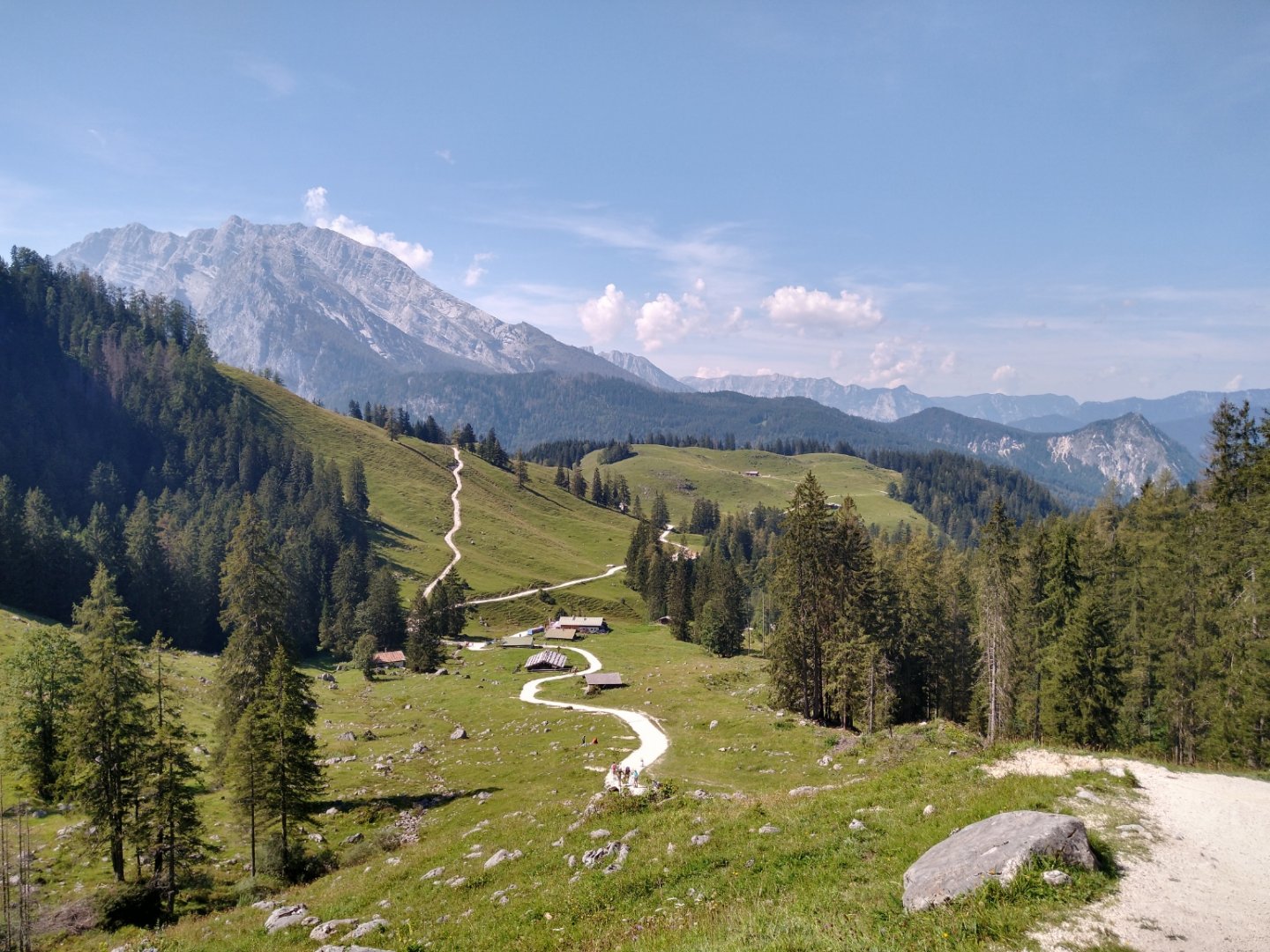
About halfway along the route (and the metres climbed) the continuous forest ends and the Königsbachalm (1,200 m) opens up. There is a Königsbachalm refreshment stand here, but mainly beautiful views of the surrounding alpine meadows with grazing cows.
After a further 500 metres there is the option to go left to the north along the easier and longer route 497 on the western slope of the Jenner, which leads to the intermediate cable car station. We, on the other hand, choose to turn right on 497 for the shorter and slightly more challenging option of the final ascent from the south side. At the next signpost, No. 497 changes to No. 498, but to be honest I didn't follow these numbers too closely as the signposts mark the route sufficiently.
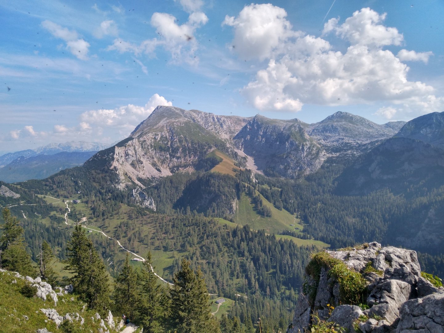
After 2.5 km from the refreshment area in the Königsalm saddle and another 250 meters climbed, we get a view of the south slope of Jenner, we can also see the summit cross and the restaurant building. So we leave the gravel of Arnoweg and turn left (north) to start the final climb. We have 2 km and 350 vertical metres to go.
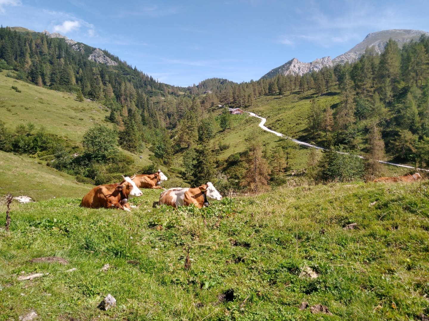
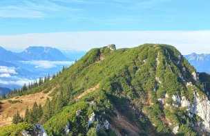
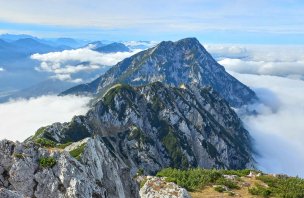
We traverse the rocky trail, occasionally sitting, occasionally petting a cow and generally enjoying the views of the magical alpine meadows surrounded by two-thousanders. At the 1,874 m above sea level, which offers views not only of the Königsee and Watzmann, but also of the Eagle's Nest (Kehlstein) and across the valley to Salzburg, we stopped after 3.5 hours, including breaks.
Now we only have one dewy and obligatory Gulaschsuppe to go. 32€ per adult is a rocket for one ride, but that was the plan and none of us exactly love the trips down.
Difficulty
We managed to complete the trek with one "non-athlete", for whom it was his first ever ascent of any hill. Its difficulty lies only in the constant climb, when on the 9 km route you climb from 600 to 1874 m above sea level.
For the first two thirds you walk through the woods on a gravel path, the last section you traverse on a safe, rocky path up a steep slope in sight of ringing cattle. No special equipment is needed beyond trekking boots. The trail is manageable for children, dogs and even in wet conditions. However, the final section would not be manageable with a stroller.
Water availability
We carried 1 litre of water per person, which we refilled from the Königsbach stream that flows in the forest section near the route. As it was 30 degrees, the stream also served us well to cool our heads and backs. There is a refreshment stand halfway along the route - Königsbachalm.
Mountain peaks
On the route we will climb only one peak, the Jenner 1 874 m above sea level, on the top of which there is a restaurant and a cable car from Königssee. From the top, in good weather, you can see the High Tauern to the south and Dachstein to the east.
Photos