Mountain range, region / State
/ Armenia
Season
Summer
14. 07. - 16. 07. 2019
Difficulty
4 / 5
Elevation
↑ 1670 m
↓ 1586 m
Length
35.9 km
3 days
Altitude
max. 3597 m n.m.
min. 2073 m n.m.


Three-day trek in the Gegham Mountains to Lake Sevan in Armenia
Starting point
The village of Sevaberd, located on the western side of the mountain range. We got to the village by taxi for 20,000 drams from Yerevan. It probably would have been cheaper, but we could fit all five of us in the car so the price per person wasn't too bad.
Description of the hike
1. day
The crossing of the Gegham Mountains began in Yerevan, the capital of Armenia. Here we spent a day and night in airbnb accommodation. After an overnight flight from the Czech Republic, we had enough time to relax and, most importantly, to taste the local national treasure - Ararat cognac. After making arrangements, in the morning the owner of the house drove us for 20,000 drams to the small town of Sevaberd, where the actual crossing begins. The price probably could have been lower, but we were not yet fully familiar with local prices. The village of Sevaberd is a hole and there is nothing here. Therefore it is necessary to have all the supplies already from Yerevan. So, after a touching farewell, we set off into the mountains.
The first day we wanted to go to Lake Aknalich. There is no official road to the lake so we went up the beaten track. Right from the village it starts to climb up the endless meadows. There are no trees in the Gegham mountains. For better orientation we used gps on our mobile phones. We were still climbing partly on beaten paths, partly on meadows. It is incredible how many plants grow here and the meadows smell so beautiful. Sometimes we passed by camps of local shepherds. Of course we didn't escape attention and so we were visited by a local shohay on horseback. But he left disappointed because we refused to give him the binoculars of one of the expedition members.
In the second half of the journey, the climb eased and eventually we reached Lake Aknalich. Only here we came across water flowing from the melting snow. Otherwise, we only encountered one stream along the way, but it was close to a grazing herd and we were worried about contamination. The evening at the lake was fantastic, with the sun setting almost kitschily behind Armenia's highest mountain, Aragats.
2. day
On the second day, we started from the lake to the main goal of the crossing - Mount Azhadak. Basically, right from the beginning we walked on open terrain on meadows. There were some paths, but they led to another herders' camp and we wanted to avoid that. The local dogs command respect. So we reached the base of the Western Aghusar mountain (volcano) and continued between the mountains to a small lake. From it we can see the mountain Aghadak. We continued to another lake right below the mountain.
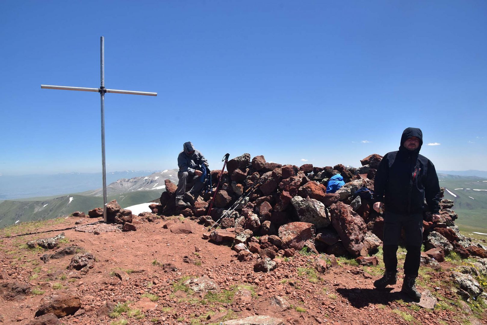
Here we left our backpacks and took the trail to the top. The altitude of around 3,200 m above sea level is already felt here, so some members had slight problems. However, there is a trail leading to the top of the volcano, there is no exposed section and so there was no problem with the ascent. From the top of Azhadak 3 597 m above sea level (the highest point of the crater rim) there are great views on all sides. There is a lake of melting snow in the crater itself. After sufficient rest on the summit we returned to the lake below the mountain. Here we took our packs and descended to the stream below the mountainside. We pitched our tents by the stream and spent the second night.
3. day
On the third day we had a rather long descent towards Lake Sevan. The goal was the town of Gevar, but we secretly hoped that it would be enough to reach the village of Tsaghkashen, from where we would somehow get further. After packing up our tents, we headed downstream and began a gradual descent.
There is no road, but again, it is mostly on meadows. Sometimes it is necessary to cross stone fields, but that was no problem. After leaving the higher parts we found ourselves on vast plains and we continued along them. It was quite a tiring journey, it was hot and the destination was quite far away. Again we passed a herdsmen's camp.
From there the final descent to the village of Tsaghkashen began. Eventually we came to the local shop, exhausted. Miraculously, they were just opening it (only for half an hour) and had beer. While consuming the second piece of frothy drink, another miracle happened and a taxi came to the village to bring someone. After a quick arrangement, he drove us to the town of Gevar for 2x. From there, we then continued by another taxi to Lake Sevan, where we had a good rest and prepared ourselves for further wanderings in the Armenian mountains.
Difficulty
This is an honest trek on hard, so good physics is useful. At the same time, most of the time you are at a high altitude, on average 3,000 m above sea level, so you may experience some signs of altitude sickness at the beginning. This is especially true for the climb up to Azhadak, here the altitude is already strongly felt. Technically, however, the trek is not demanding. It is mostly on wide plains, which are occasionally disturbed by stone fields. Occasionally we came across beaten paths. Even the climb up to Azhadak is without problems, there is a trail leading to the top of the volcano.
Water availability
On the first day we took water up to the Aknalich lake from the water that flowed out of the melting snow. The next two days we encountered streams more often, especially near the highest mountain of the mountain range, Azhadak. But I definitely recommend taking 3 liters of water per person for the whole trek. In August and September, water will be more of a problem in the mountains as the snowfields will have melted. Ideally filter the water from the melting snow.
Sleeping options
Of course, there is no mountain hut on the route. So it is necessary to have your own tent and everything for a three-day trek. We spent the first night at Lake Aknalich. There is also water here to replenish our supplies. The second night under the mountain Azhadak. Again by a stream.
Mountain peaks
On the route we climbed the highest mountain of the Gegham Mountains - Azhadak 3 597 m above sea level. You can see the whole Gegham mountain range, Lake Sevan in the east and also the sacred mountain Ararat. The latter, however, is already in Turkey.
Danger
As you are walking in the open all the time, you need to be careful during storms. There's nowhere to hide. Among the wild animals, you may see a bear. Otherwise the route is technically easy, there are no dangerous sections. Of course, it's good to watch out for nausea and headaches caused by the high altitude.
Food
All the time we ate from our own supplies bought in the Czech Republic. We bought gas cartridges and other supplies in a shop in Yerevan, so we had hot food and coffee every morning without any problems.
Attractions
It is quite difficult to get good maps of the Armenian Mountains. We finally had a good experience with mobile and mapy.cz. But we also had old Soviet maps. They can be downloaded here.
The best method of transportation in Armenia is to use a taxi or shuttle. This is actually a small van for about 10 people. We definitely preferred the taxi. There were 5 of us and we almost always fit in the car and therefore budgeted the cost just fine. Moreover, catching a taxi anywhere in Armenia is not a problem and there is no need to wait for the shuttle to leave. They have a given departure time but will leave when the vehicle fills to capacity.
Photos