NaTreku.cz

Crossing Crete hike E4 along the coast

Mountain range, region / State

Greek island / Greece

Season

Fall

01. 10. - 06. 10. 2024

Difficulty

3 / 5

Elevation

↑ 2429 m

↓ 2415 m

Length

70.4 km

6 days

Altitude

max. 28 m n.m.

min. 1 m n.m.

Tourist map of Crete

Elevation profile of the route

Meters climbed: 2429 m
Dismal metres: 2415 m

Useful information

  1. Suitable for children - YES (high school students)
  2. Suitable for dogs - YES
  3. Overcrowding - small

Useful information

  1. Suitable for children - YES (high school students)
  2. Suitable for dogs - YES
  3. Overcrowding - small

E4 multi-day trek across the island of Crete

Starting point

My starting point for the E4 trek in Crete was Sougia, where there are several daily bus connections from Chania. The frequency of connections depends on the time of year. However, there are several other locations that are accessible by bus from Chania for this famous trek. Depending on how many stages you want to complete or which direction you choose, you can also start at other places such as Elafonisi beach, Paleochora or the village of Chora Sfakion. These places are also well connected to Chania by regular bus services.
 

Description of the hike

1. day

Sougia - Agia Roumeli ( 20 km, up and down 1300 m, estimate approx. 10 hours, but it is better to split into two parts )

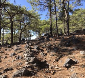
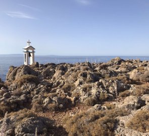
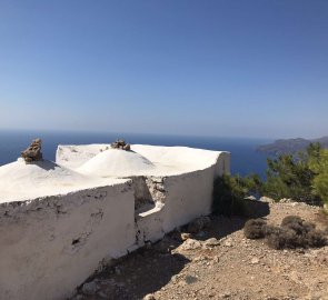
This is a stage that smells of pine trees and thyme, the trail starts with an inconspicuous turn above the village, you climb up a gravel road. Higher above the village the path joins the trail, which you follow more or less contourwise. The bigger climb comes after about 2- 3 hours of walking to the fortress of Voukelasi, where there is also a turn-off to the church of Profitis Ilias.

This whole section is challenging because there is very poor signage and the trail forks very often. The trail then descends steeply to Tripiti Beach. There is a possibility of swimming here, or there is a water taxi service. Then the trail continues over large boulders just past the sea, after about half an hour you join a gravel road and pass a shepherd's dwelling.

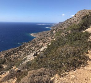
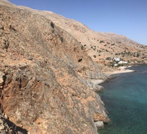
Beyond Sendoni beach the trail climbs again and runs along a traverse high above sea level. A steeper descent leads you to Domata beach, where I arrived after about 9 hours and did not continue. The nourishing climb of about 500 vertical meters was better in the morning shade of the fragrant pine forest.

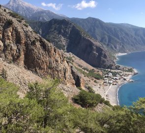
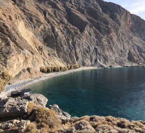
After swinging over the highest point "just" a long descent to Agia Roumeli. The descent is really long, just above the village, crossing a steep slope where the trail passes through less stable stone fields. The reward is stunning views of wooded cliffs, the White Mountains and whitewashed houses lining the coastline far below you. I split the stage in two and stayed overnight at Domata Beach.

From Agia Roumeli you can go to the most famous Cretan gorge, Samaria. According to the locals, it is better to take it in the opposite direction, i.e. from the bottom up, if your physical condition allows it (elevation around 1300 m and length about 16 km).
 

2. day

Agia Roumeli - Loutro (14 km, approx. 480 m up and down, approx. 5 hours of guessing)

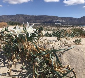
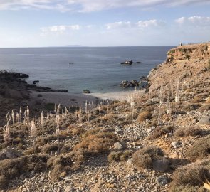
One-day stage. I sleep in a free camp near Agia Roumeli and use its facilities. The trail starts just above the camp. It runs just past the coastline, in places on a sandy beach, which slows down the movement a bit. After about 1-1,5 h I arrive at Agios Pavlos, a beach with a tavern and a Byzantine church.

Then continues a comfortable path through a fragrant pine forest, about halfway through the stage this luxury ends and you are exposed to the sun for the rest of the wandering. The trail turns rocky, only the shade of old olive trees rarely provides refreshment. A pleasant diversion on this stage is the Marmara beach and the limestone coastal caves. But it is a very touristy place with a tavern, water taxi , also the starting or ending point of the Aradena Gorge.

Then the trail continues along the cliff and there are a few places where I would have welcomed a rope or chain to attach. For a wild overnight stay on the beach, it is better to stay in Finikas or Likos or walk up past Louro about 1-1.5 to the tiny pebble Timios Stavros Beach. Loutros is only urban with beach chairs, however a wide range of accommodation, replenishment possibilities.
 

3. day

Loutro - Chora Sfakion ( 7 km, 240 m elevation gain).

This is a shorter, more relaxing stage. The trail above Loutro climbs steeply, weaving between houses through narrow streets and joining the panoramic trail that leads me to the beautiful Timios Beach. If you don't like crowds, feel free to stay here. On the way there is a beautiful beach with turquoise water - Sweat water under the white cliffs.

There is a spring with drinking water in the sand, a tavern and a water taxi service. Due to falling rocks, camping is prohibited here. From here I continue along a rocky path in a steep rocky hillside. After about 1 hour I am on the asphalt road that leads to Chora Sfakion. For the night I choose a small beach outside the town of Agios Charalampos, about half an hour's walk away.
 

4. day

Morning boat transfer from Chora Sfakion to Agia Roumeli.

I take advantage of the few hours before the evening ferry to Sougia departs and head to at least part of the Samar Gorge. The evening cruise around the high pink cliffs illuminated golden by the setting sun was a great experience. Again, but from a different perspective, I am enjoying the beauty of the southern coast.

At nightfall I lie down again in my sleeping bag in the free camp at the end of the beach in Sougia. The original plan was to go from Chora Sfakion through the Imbros gorge into the mountains and cross Levka Ori, descend to Sougia through the Agia Irini gorge. Given the unusually high October temperatures, which hovered around 30 degrees, and the aridity of the landscape, I left this plan for the blooming spring.
 

5. day

Sougia - Paleochora - Krios beach ( 14km or 24km if you skip the bus, 500m up and down)

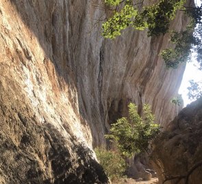
The start of the trail begins at the harbour, it leads through a beautiful gorge which I ascend to a vast plain with amazing views of the White Mountains, the ones that await me next. After about an hour, another breathtaking view of the ancient town of Lissos opens up in front of me. A steep descent takes me after about half an hour to a beautiful valley where the ruins of a once thriving ancient town and baths peek out timidly between the horn trees.

A beautiful small beach and a hearty spring is a great backdrop. The trail continues to climb through the rocky terrain high above the coast for about 30 min, but then a gentle descent, up the slope of the already differently shaped coastline, leads you to Paleochora. In front of Paleochora there are two large beaches, one sandy and one pebbly. There are facilities in the form of a snack bar. (no camping).

Paleochora is quite a busy resort with a long history and also a wide range of accommodation. There is also a campsite on the road connecting the beach to the town. A beautiful long sandy beach is located on the western side of the promontory. From here there are 2-3 buses daily to Krios beach, but I walk to it ( the uninteresting part is about 10 km along the sinice).
 

6. day

Paleochora ( Krios Beach) - Elafonisi ( 10 km, up-down elevation approx. 300 m) approx. 4-5 hours.

The end of the stage beyond the cedar grove is the most challenging, where the trail goes over huge boulders, which makes orientation very difficult ( approx 1h ). Otherwise the trail is quite comfortable without much elevation gain and dangerous sections, bypassing a large bay, so the scenery doesn't change much. After about an hour I reach the ancient port of Limnaki (Viennos).

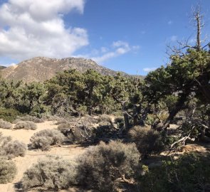
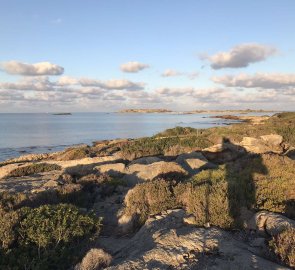
Along the way there are several opportunities for a nice swim. If you want to stay overnight, stay at Kendrodasos beach in the shade of a cedar forest.There are no facilities here, but it is quiet and much less touristy than nearby Elafonisi beach, which can be reached in about 1 h. There is an afternoon service from Elafonisi to Chania.
 

Difficulty

Multi-day trek (6-7 days) - stages vary in difficulty both in terms of length and terrain. These are stages that can be walked in about 4 -10 hours. The trail runs above the coastline, in places along sandy beaches, but often you will be high above the coastline at the foot of beautiful mountains overlooking the sea.

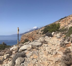
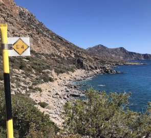
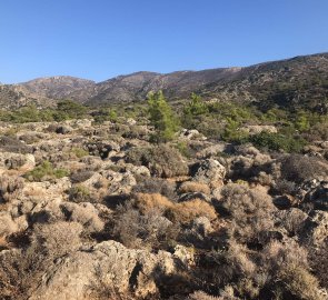
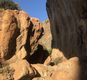
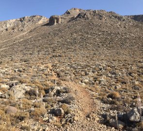
The trail is not really suitable in summer as most of the trail is shade free. The trail traverses rocky terrain covered in low scrub, often branching off into other trails trodden by the ubiquitous herds of goats. Signage is fairly modest, the yellow and black splashes on the rocks could use a refresh, and in places you'll be guided by yellow and black poles with E4 signs or stone men.

In the varied terrain you will also encounter exposed sections above the cliffs. I highly recommend sturdy footwear and trekking poles. I also encountered a recommendation for long pants because of the overgrowth with thorns, but I did not have a significant problem with this Stages. Although it is the longest and most challenging part, it is also the most beautiful stage, the most varied and wild nature. Agia Roumeli- Loutro- the shortest stretch runs in a rocky cliff. The other stages are easier with less elevation gain. It is always a good idea to start the route early in the morning just after dawn.
 

Water availability

The possibility of refilling water depends on the season in which you go on the route. In spring, water can be replenished during the stages, in summer and autumn everything is dry and you are left to refill or purchase water at the starting point. The only spring where water can be refilled year round is at Lissos, which is also an archaeological site near Sougia towards Paleochora.

The minimum water per stage in warmer weather ( above 25°) is about 4.5 litres. For the stage Aougia- Agia Roumeli min 6l ( it is better to count on splitting the stage, you will need water for two days). The availability of water in spring is better, there are springs.
 

Sleeping options

Overnight on the beach. Sougia and Agia Roumeli offer free camping by the beach. The camp in Agia Roumeli even has sanitary facilities and the possibility to recharge what you need. Each village offers overnight accommodation in apartments and small hotels by the beach.

In general, camping outside of officially marked places is forbidden in Greece!
 

Food

Supplies can be replenished at the start and end point of the stage. The shops are well equipped. There are many tavernas in the villages where you can enjoy a great meal.
Posted by: 11. 11. 2024
Author:
anchazrancha
Author profile