Circular trek over the Schreinl peak in the Wölz Tauern
Mountain range, region / State
Rottenmann and Wölz Tauern in Alps / Austria
Season
Fall
02. 11. 2024
Difficulty
2 / 5
Elevation
↑ 1469 m
↓ 1469 m
Length
16.4 km
6 hours
Altitude
max. 2149 m n.m.
min. 1002 m n.m.
Tourist map of the Wölz-Taur in Austria
Tips for hikes in the mountain range Rottenmann and Wölz Tauern in Alps
Climbing the Schoberspitze in the Wölzer Tauern

Trek to the Hohenwart in the Wölzer Tauern

Trek in the Rottenmann Tauern with ascent to the Hochrettelstein
Autumn trip to the empty Wölzer Tauern
Starting point
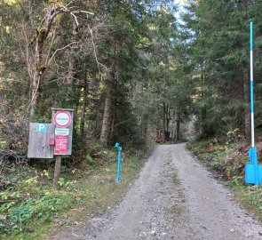
I leave my car in the small free parking lot above the Perweinhof farmhouse. Donnersbachwald, parking lot at the Perweinhof farm.
Description of the hike
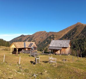
Going up the Plotschergraben ravine I head up towards the Michelirlingalm. The path leads alternately along wider forest paths (car access to the almo) and forest paths. It takes me just over an hour to reach Michelirlingalm.
I pass the turnoff to Lake Michelirlingsee and continue up towards the Karlscharte saddle (1949 m) and the prominent Schoberspitze peak (2126 m). The footpath traverses grassy slopes, I spook a few larger black and white birds with red caps, could it be a grouse?
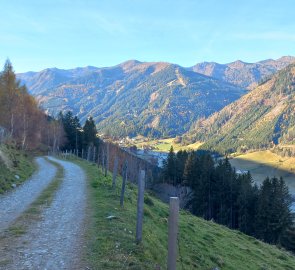
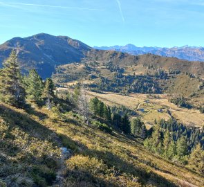
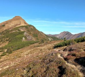
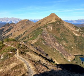
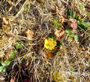
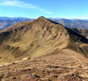
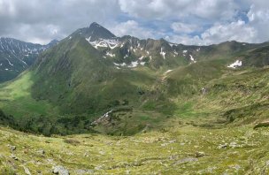
Unlike in summer, when the hills here are deep green, now in autumn the grass is sage green and the mountains are coloured every shade of ochre and brown. The visibility is fantastic - to the west the Sölktal and Schladming Alps, Dachstein, Grimming, Totes Gebirge. From the Karlscharte saddle, the ascent to the Schoberspitze turns left (about 200 m extra elevation gain), I turn right to the Karlspitze (2097 m).
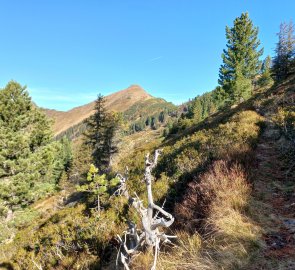
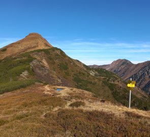
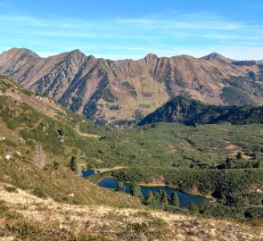
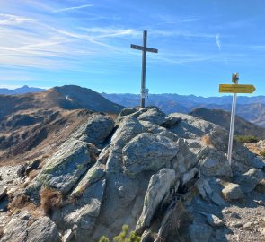
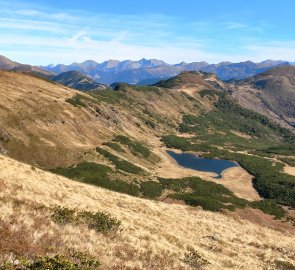
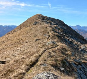
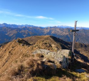
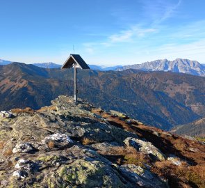
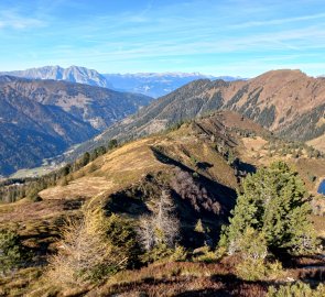
The Karlsee lake reflects the blue sky below me, the slopes of the Planneralm and the belt of mountains above it (from the two-thousanders Hochstein, Gstemmerspitzen to Hochrettelstein) are visible on the right. On the Karlspitze there is a nice backdrop of rocks with a metal cross. I continue along the ridge to the Schreinl 2 154 m above sea level.
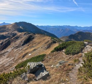
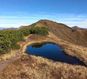
The trail is safe, the ridge is not exposed. There is another lake on my left, the Goldbachsee, and behind it the ridges of the Rottenmann Tauri. At Schreinl I use the lee to rest for a while and then continue down towards the third peak of the trail, Hühnereck 2,035 m above sea level. There is no marked trail here anymore, just footpaths trodden by cattle.
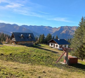
Hühnereck has a covered wooden cross with a carved Christ. Below the summit you can see the Michelirlingsee, which used to hide behind the edge. I descend from the summit between the juniper and the alpenrose towards the old lift to the Premalm alma at about 1,600m. From here the forest path leads down to the Donnersbachwald again.
I'm at the car early, still 2 hours of daylight left, so I decide to visit the nearby Donnersbacher Klamm gorge. I cross into Donnersbach, about 5 minutes away, and leave the car in the car park behind the bridge, just off the road. The nature trail through the gorge and around Donnersbach starts at the bridge.
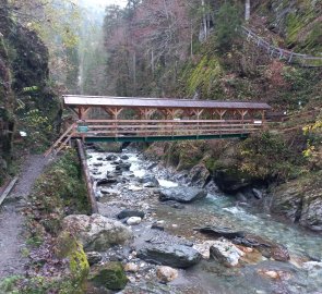
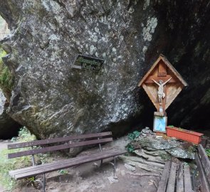
The theme is, besides the local plants and trees, also the processing of wood in the area and its floating on the Donnersbach stream. The gorge is small but pretty - the path leads past several small waterfalls, one as a shower directly above the path, there are wooden ladders and footbridges. After about a kilometre past the Dieter Ruff Felsen rock climb, the path climbs up and returns to Donnersbach along the panoramic Klammrunde trail.
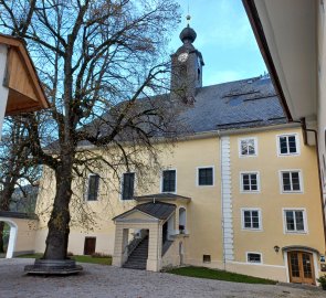
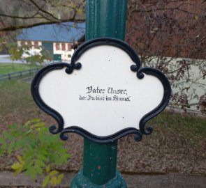
On the opposite hillside are scattered cottages, you can also see the ruins of the church of St. Jilja (St. Ägydus). Above Donnersbach shines the beautifully restored castle and parish church (Schloss Donnersbach). The courtyard is freely accessible through a door with a painted Austrian eagle. From the other side, a lighted path leads to the castle with a nice detail - on each lamp is a verse from the Our Father (Vaterunser). The tour of Klammrunde takes about 1,5 - 2 hours.
Difficulty
A beautiful route on the grassy peaks of the Wölzer Tauern, partly on unmarked paths, no exposed sections. School children should manage without problems.
Water availability
You can refill water in the streams along the way or in the drinking fountains at the almshouses.
Sleeping options
There is no hut on the route, accommodation is possible in the valley.
Mountain peaks
On this tour you will climb three two-thousanders - Karlspitze 2 097 m above sea level, Schreinl 2 154 m above sea level and Hühnereck 2 035 m above sea level. On the trek you can enjoy views of the Ennstal Alps, Dachstein, Totes Gebirge, Schladming and Sölktal Tauern.
Danger
The route is safe, no exposed places. There is no objective danger here in good weather.
Food
There is no hut on the trail, you have to take food with you (just a classic snack for the hike), or buy provisions in the valley.
Attractions
There are other leisure options nearby:
1. Donnersbach - the Donnersbacher Klamm gorge, the castle and the parish church.
2. Donnersbachwald - ski resort, cable car with summer operation.
