Autumn ascent of the Hörndlwand in the Bavarian Alps
Mountain range, region / State
Bavarian Alps / Germany
Season
Fall
20. 10. 2024
Difficulty
2 / 5
Elevation
↑ 1067 m
↓ 1067 m
Length
10.7 km
5 hours
Altitude
max. 1691 m n.m.
min. 741 m n.m.
Hiking map of the Bavarian Alps in Germany
Tips for hikes in the country Germany
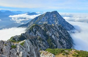
Zwiesel - Hochstaufen mountain pass in the Chiemgau Alps
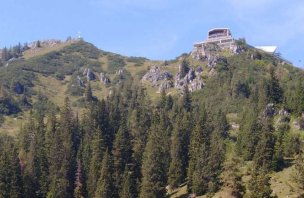
Ascent of Mount Jenner from Königssee

Challenging climb to the highest mountain in Germany - Zugspitze
An easy trek to two peaks in the Bavarian Alps in Germany
Starting point
Parking at Seehaus, about 5 km south of Ruhpolding. Parking is payable (9 €/day, or 5 € with Chiemgau card - 10-2024). However, cars are still parked on the side of the road later on.
Description of the hike
I leave Ruhpolding early and leave the car in the paid parking lot at Seehaus, not far from the Chiemgauer Arena. The car park is still empty in the morning, but later it fills up completely. I walk up the hiking trail, according to the signs I am supposed to count 3,5 hrs.
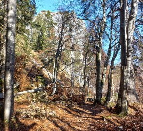
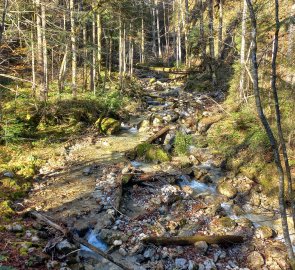
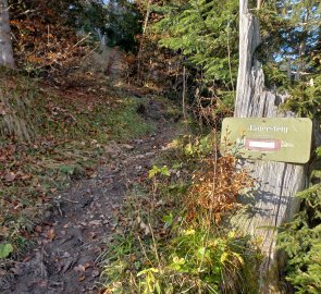
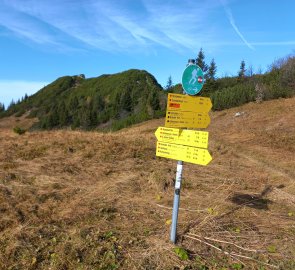
First a forest path, then a path through the beech forest along the stream. After less than an hour I reach Brander Alm with its inn. I climb up along the pasture and then into the forest again to the signpost - on the left is the more difficult Jägersteig (hiking, black marked) to Hörndlwand, on the right the less difficult (red) route via Ostertal.
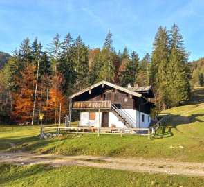
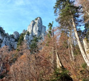
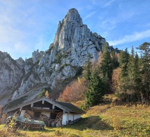
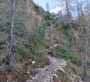
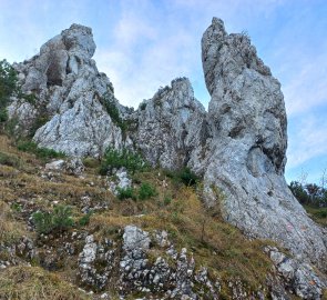
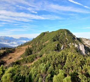
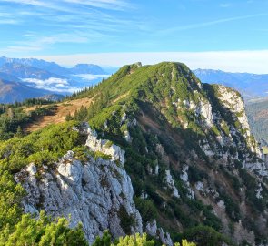
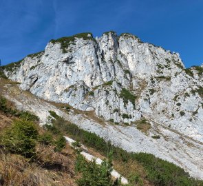
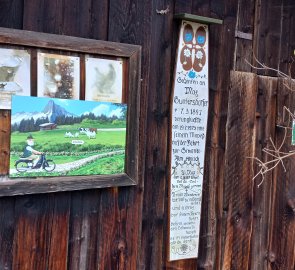
I turn right and after about half an hour arrive at a small hut on Hörndlalm, which stands right at the base of the wall. The picture of this place in the calendar with the mountains actually started my journey today. But the reality in the warm morning sun is much nicer. Behind the hut begins the Jägersteig - a steep, rocky path up the saddle between Hörndlwand and the next mountain, Gurnwandkopf. Nothing exposed, but sometimes you have to use your hands.
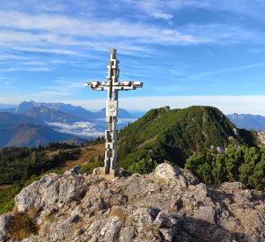
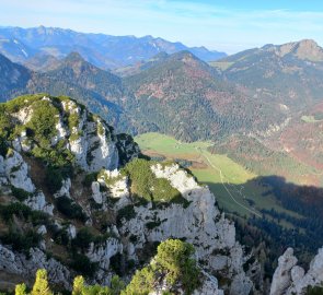
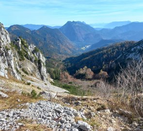
From the saddle it is then only a short walk to the summit. At the top of Hörndlwand (1684 m) is an unusual cross made of raw metal, for me personally one of the nicest I have ever seen. And a circular view of the next peak, the Sonntagshorn, the highest mountain in the Chiemgau Alps, the High Tauern, the Wilder Kaiser massif and other peaks of the Bavarian Alps.
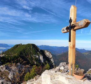
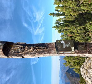
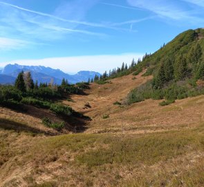
After a moment of admiration, I continue to the second, this time wooden cross a few dozen metres to the east. The mountain has a third cross on the eastern peak (Ostgipfel), which I don't go to anymore, the path seems quite exposed to me. I descend down to the autumn-coloured meadows and continue to the next one, Gurnwandkopf 1,691m above sea level, which also has two peaks and two crosses, one of them interesting, unusual, carved into the trunk.
From Gurnwandkopf I return around the south side of the face via Ostertal back to Brander Alm. I'm already meeting other visitors - the mountain is popular. From Brander Alm, it's back along the wider forest path to the completely full car park.
Difficulty
Climb to the popular Hörndlwand 1 684 m above sea level in the Chiemgau Alps. The path leads along marked trails (medium difficulty). There are no dangerous places on the route, it is possible to go with older children and other domestic animals.
Water availability
Refreshments are available at the Brander Alm inn about midway along the route (a sign at the bottom of the parking lot informs of the opening), streams along the way.
Mountain peaks
On this trek I will climb two peaks - Hörndlwand 1 684 m above sea level and Gurnwandkopf 1 691 m above sea level, from which there are great views of the Bavarian Alps, the High Tauern, Wilder Kaiser and others.
Danger
The route is not dangerous, it is possible to go with older children, it is possible to go to Brander Alm on a wider path by bike or with a stroller.
Food
Food to go, refreshments available at Brander Alm.
Attractions
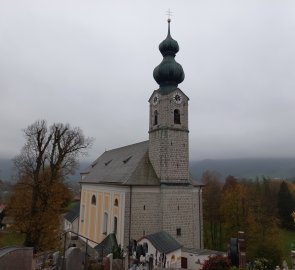
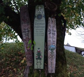
Also worth a visit are the 3-Seen-Gebiet, the Three Lakes Region below Hörndlwand with its beautiful mountain lakes and the nearby town of Ruhpolding with its painted houses, beautiful parish church and the symbolically preserved tradition of the Totenbretter (death boards, familiar from the Bohemian Forest).
